Transport Functions
Port
Rail
Road
Airport
Hub Profile
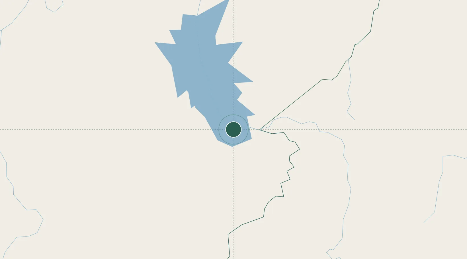
Place type
Populated place
Region
Pará
Population
145,860
Time zone
America/Belem
Elevation
95 m
Location
Nearby Logistics Neighbours
Cities
- 1Parauapebas116 km
- 2Araguatins117 km
- 3Xambioá135 km
- 4Praia Norte148 km
- 5Canaã dos Carajás151 km
Ports
- 1Cameta347 km
- 2Vila Do Conde425 km
- 3Belem439 km
- 4Itaqui613 km
- 5Porto Santana632 km
Airports
- 1João Correa da Rocha Airport2 km
- 2Carajás Airport129 km
- 3Tucuruí Airport186 km
- 4Prefeito Renato Moreira Airport186 km
- 5Araguaína Airport231 km
Trade Zones
- 1ZPE de Araguaína (TO)227 km
- 2ZPE de Barcarena (PA)430 km
- 3ZPE de São Luís617 km
- 4ZPE de Parnaíba (PI)859 km
- 5ZPE de Pecém (CE) ( Port of Pecém)1157 km
DatabookThe Record of Consolidated Knowledge
Brazil beyond logistics?