Medium airport · Brazil
Carajás AirportSBCJ
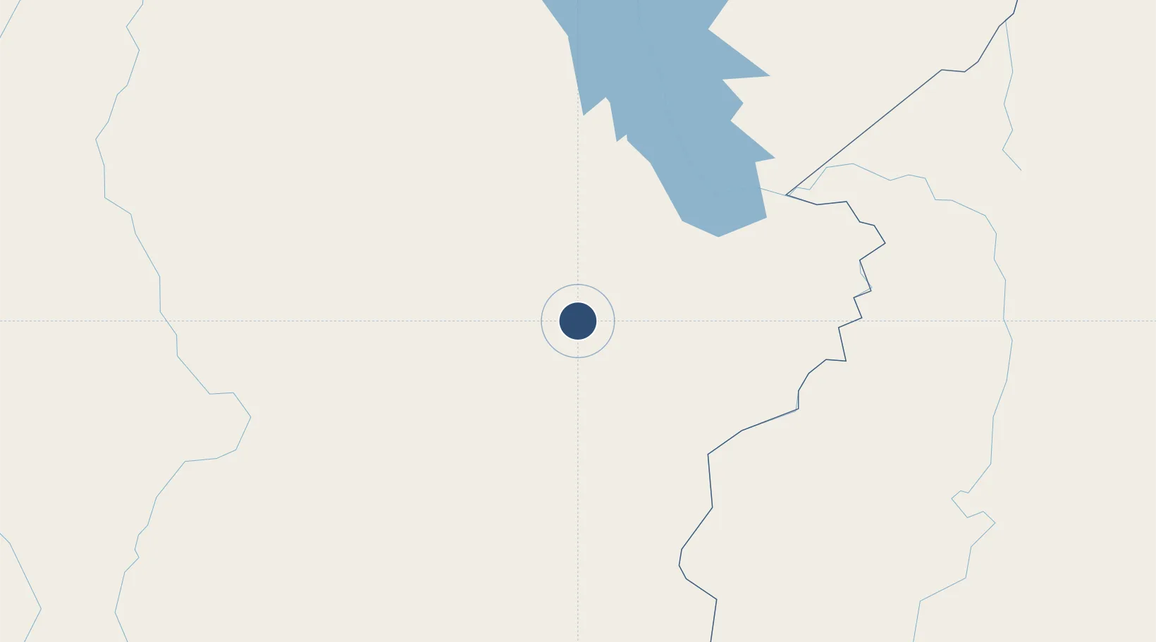
-6.1178°, -50.0034°
6,562 ft
Longest runway
1
Runways
2,064 ft
Elevation
Runway & Layout

Radio Frequencies
AFIS
131.7 MHz
RDO
Navaids
CRJ VOR-DME Carajas 112.40 MHz
CRJ NDB Carajas 170 kHz
Runways · 1
| Runway | Dimensions | Surface | True heading | Lit |
|---|---|---|---|---|
| 10/28 | 6,562 × 148ft | Asphalt | 083° | — |
Airport Specifications
IATA code
CKS
ICAO code
SBCJ
Airport class
Medium airport
Scheduled service
Yes
Runway surface
Asphalt
Served city
Parauapebas
Location
Nearby Logistics Neighbours
Airports
- 1João Correa da Rocha Airport127 km
- 2Araguaína Airport231 km
- 3Conceição do Araguaia Airport260 km
- 4Tucuruí Airport261 km
- 5Prefeito Renato Moreira Airport289 km
Cities
- 1Parauapebas13 km
- 2Canaã dos Carajás48 km
- 3Marabá129 km
- 4Xambioá167 km
- 5Araguatins215 km
Ports
- 1Cameta434 km
- 2Vila Do Conde527 km
- 3Belem545 km
- 4Santarem665 km
- 5Porto Santana687 km
Trade Zones
- 1ZPE de Araguaína (TO)229 km
- 2ZPE de Barcarena (PA)534 km
- 3ZPE de São Luís743 km
- 4ZPE de Parnaíba (PI)978 km
- 5Zona Franca de Manaus - Suframa (Manaus Free Zone)1154 km
DatabookThe Record of Consolidated Knowledge
Brazil beyond logistics?