Medium airport · Brazil
João Correa da Rocha AirportSBMA
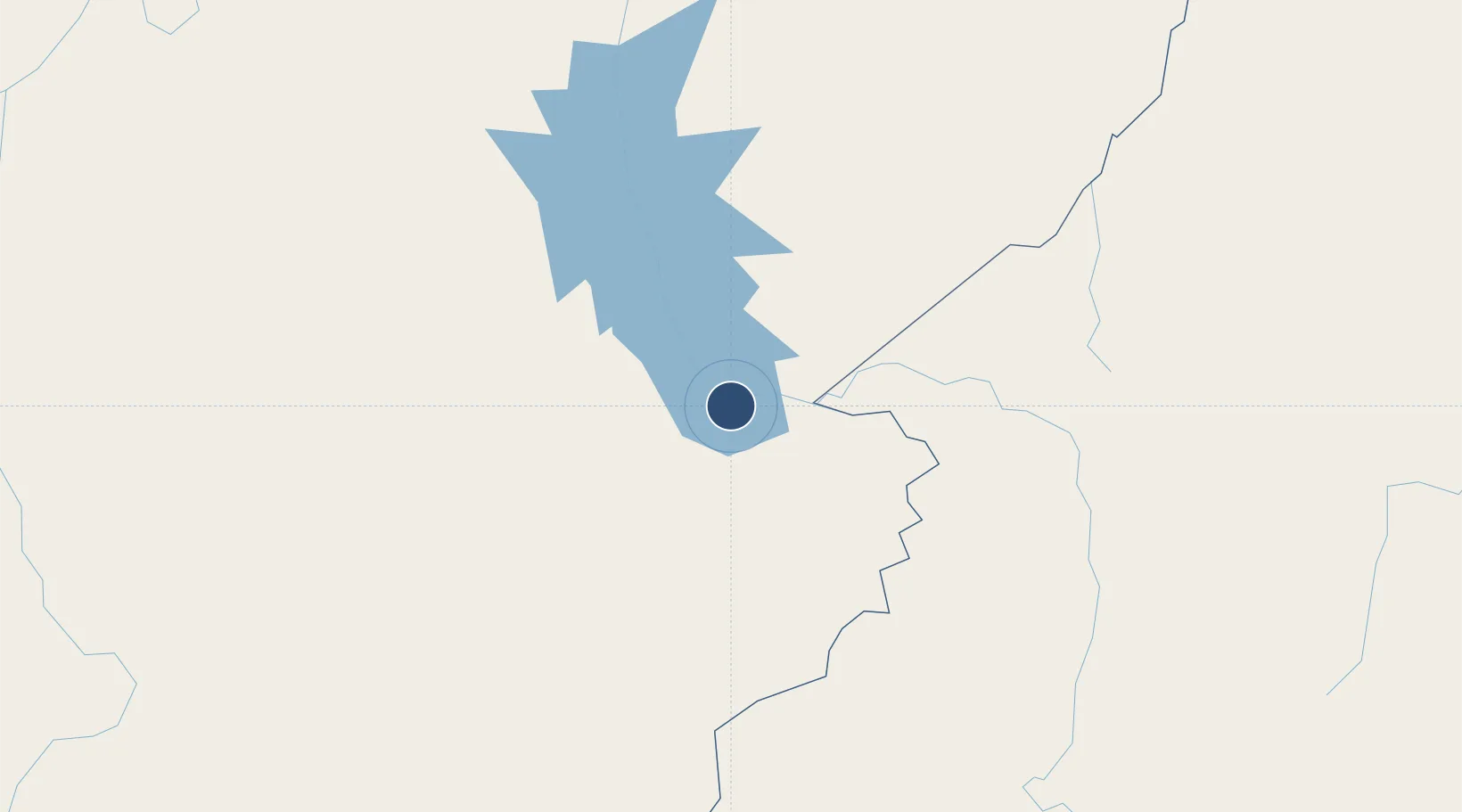
-5.3686°, -49.1380°
6,562 ft
Longest runway
1
Runways
357 ft
Elevation
Runway & Layout

Radio Frequencies
AFIS
125.9 MHz
RDO
Navaids
MRB VOR-DME Maraba 113.70 MHz
MRB NDB Maraba 370 kHz
Runways · 1
| Runway | Dimensions | Surface | True heading | Lit |
|---|---|---|---|---|
| 7/25 | 6,562 × 148ft | Asphalt | 050° | — |
Airport Specifications
IATA code
MAB
ICAO code
SBMA
Airport class
Medium airport
Scheduled service
Yes
Runway surface
Asphalt
Served city
Marabá
Location
Nearby Logistics Neighbours
Airports
- 1Carajás Airport127 km
- 2Prefeito Renato Moreira Airport187 km
- 3Tucuruí Airport187 km
- 4Araguaína Airport229 km
- 5Brig. Lysias Augusto Rodrigues Airport286 km
Cities
- 1Marabá2 km
- 2Parauapebas115 km
- 3Araguatins117 km
- 4Xambioá134 km
- 5Praia Norte148 km
Ports
- 1Cameta349 km
- 2Vila Do Conde427 km
- 3Belem441 km
- 4Itaqui614 km
- 5Porto Santana634 km
Trade Zones
- 1ZPE de Araguaína (TO)225 km
- 2ZPE de Barcarena (PA)432 km
- 3ZPE de São Luís618 km
- 4ZPE de Parnaíba (PI)860 km
- 5ZPE de Pecém (CE) ( Port of Pecém)1158 km
DatabookThe Record of Consolidated Knowledge
Brazil beyond logistics?