Medium airport · Bolivia

Capitán Av. Selin Zeitun Lopez AirportSLRI
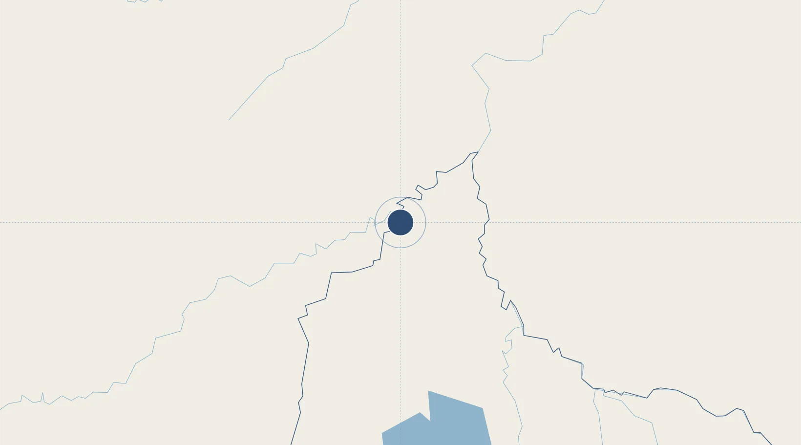
-11.0094°, -66.0755°
5,906 ft
Longest runway
1
Runways
462 ft
Elevation

Runway & Layout

Capitán Av. Selin Zeitun Lopez Airport runway & taxiway layout
Runway & taxiway layout — OpenStreetMap (ODbL) / OurAirports

Navaids

RBT VOR Riberalta 113.70 MHz
REA NDB Riberalta 370 kHz
OurAirports

Runways · 1

RunwayDimensions SurfaceTrue headingLit
13/31 5,906 × —ft Unknown
OurAirports

Airport Specifications

IATA code
RIB
OurAirports
ICAO code
SLRI
OurAirports
Airport class
Medium airport
OurAirports
Scheduled service
Yes
OurAirports
Runway surface
Unknown
OurAirports
Served city
Riberalta
OurAirports

Location

Location of SLRI
Natural Earth 10m (public domain) · El Beni · SLRI · -11.01, -66.08GoogleOSMYandex

Nearby Logistics Neighbours

Airports
  1. 1Guayaramerín Airport77 km
  2. 2Guajará-Mirim Airport90 km
  3. 3Puerto Rico Airport161 km
  4. 4Rio Branco-Plácido de Castro International Airport236 km
  5. 5Capitán Aníbal Arab Airport296 km
Nearest neighbours — logibook spatial index (haversine) over the source coordinates
Cities
  1. 1Riberalta4 km
  2. 2Guajará-Mirim87 km
  3. 3Puerto Rico170 km
  4. 4Rio Branco221 km
  5. 5Porto Acre224 km
Nearest neighbours — logibook spatial index (haversine) over the source coordinates
Ports
  1. 1Puerto Ilo931 km
  2. 2Bahia De Matarani932 km
  3. 3Rada De Arica947 km
  4. 4Bahia San Nicolas1098 km
  5. 5Manaus1102 km
Nearest neighbours — logibook spatial index (haversine) over the source coordinates
Trade Zones
  1. 1ZPE do Acre (AC)195 km
  2. 2Cobija Commercial and Industrial Free Zone297 km
  3. 3La Paz Commercial and Industrial Free Zone657 km
  4. 4Zofrapat Commercial and Industrial Free Zone721 km
  5. 5Zona Franca Oruro782 km
Nearest neighbours — logibook spatial index (haversine) over the source coordinates
DatabookThe Record of Consolidated Knowledge
Bolivia beyond logistics?
Browse databook

All Sources

AirportsOurAirports
Public domain
Portsthe NGA World Port Index
Public domain (US gov)
LocationsUN/LOCODE
UN/LOCODE — free
Trade Zonesthe World Bank SEZ database
CC BY 4.0
Trade ZonesOpen Zone Map
CC BY
InfrastructureOpenStreetMap
ODbL 1.0
← Bolivia airports