UN/LOCODE hub · South Korea
KRYGI

Yeongi-gun

36.5439°, 127.3567°
2
Transport functions

Transport Functions

Rail
Road
UN/LOCODE

Hub Profile

Region
44
GeoNames
Logistics facilities
1
UN/LOCODE

Location

Location of KRYGI
Natural Earth 10m (public domain) · 44 · KRYGI · 36.54, 127.36GoogleOSMYandex

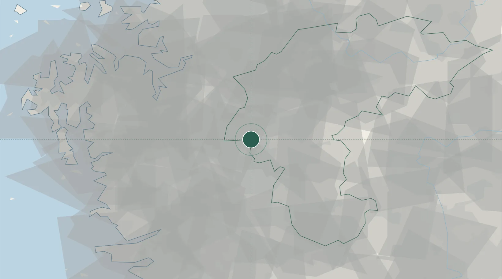
Nearby Logistics Neighbours

Cities
  1. 1Chungju1 km
  2. 2Cheongwon-gun2 km
  3. 3Osong7 km
  4. 4Hyeondo-myeon/Cheongwon-gun9 km
  5. 5Sint'anjin12 km
Nearest neighbours — logibook spatial index (haversine) over the source coordinates
Ports
  1. 1Pyeongtaek Hang71 km
  2. 2Kunsan91 km
  3. 3Daesan Hang100 km
  4. 4Inchon122 km
  5. 5Gwangyang Hang185 km
Nearest neighbours — logibook spatial index (haversine) over the source coordinates
Airports
  1. 1Cheongju International Airport/Cheongju Air Base (K-59/G-513)23 km
  2. 2Camp Humphreys (A-511) Desiderio Army Airfield55 km
  3. 3Osan Air Base68 km
  4. 4Jungwon Air Base/Chungju Airport72 km
  5. 5Suwon Airport83 km
Nearest neighbours — logibook spatial index (haversine) over the source coordinates
Trade Zones
  1. 1Jochiwon General Industrial Complex8 km
  2. 2Osong Biovalley8 km
  3. 3Sejong International Science and Business Belt10 km
  4. 4Daejeon Complex-Type Foreign Investment Zone13 km
  5. 5Chungju General Industrial Complex14 km
Nearest neighbours — logibook spatial index (haversine) over the source coordinates
DatabookThe Record of Consolidated Knowledge
South Korea beyond logistics?
Browse databook

All Sources

LocationsUN/LOCODE
UN/LOCODE — free
Portsthe NGA World Port Index
Public domain (US gov)
AirportsOurAirports
Public domain
Trade Zonesthe World Bank SEZ database
CC BY 4.0
Trade ZonesOpen Zone Map
CC BY
← South Korea locations