Small airport · United States
Red Devil AirportRDV
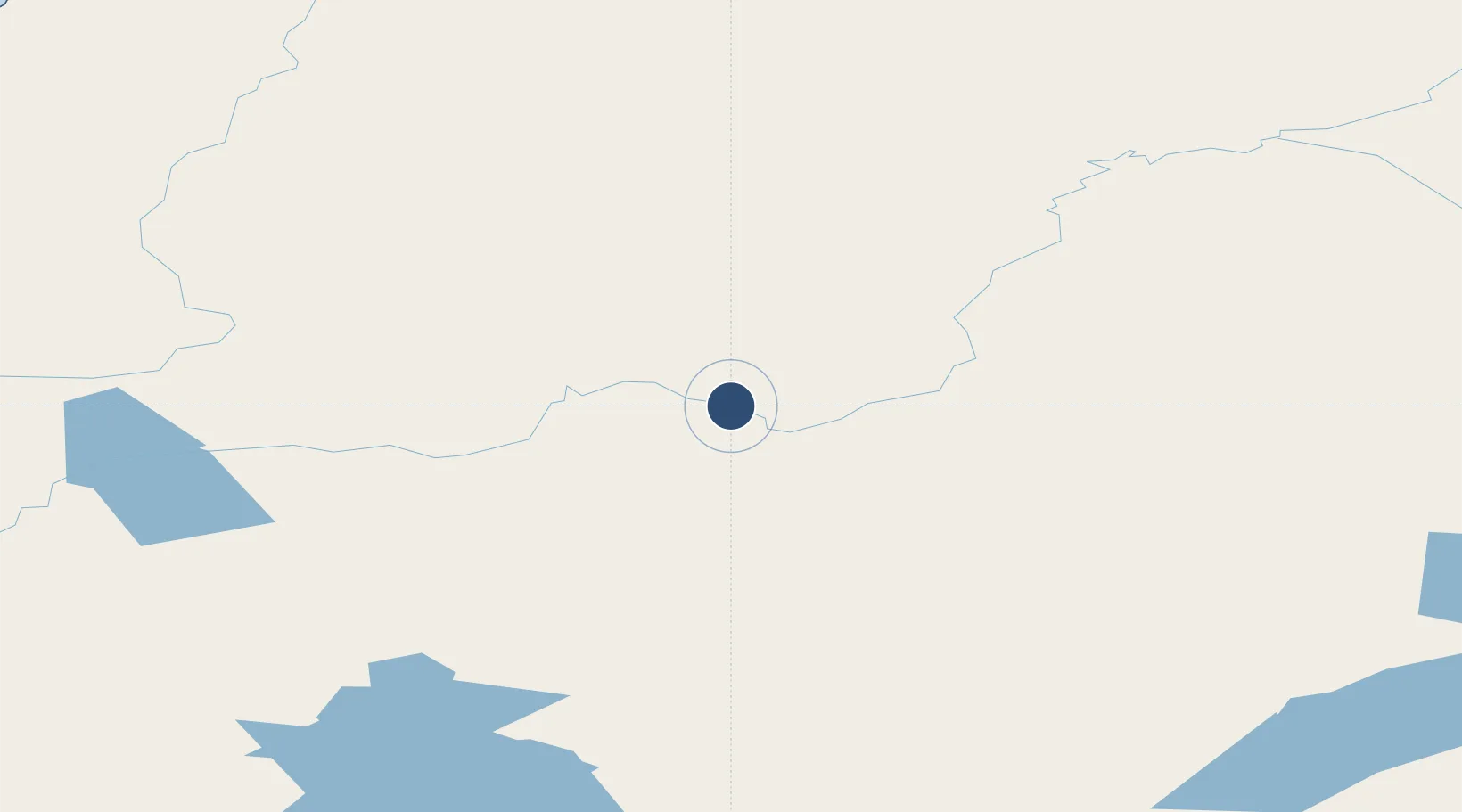
61.7881°, -157.3500°
4,820 ft
Longest runway
1
Runways
174 ft
Elevation
Runway & Layout

Runways · 1
| Runway | Dimensions | Surface | True heading | Lit |
|---|---|---|---|---|
| 10/28 | 4,820 × 75ft | GRVL-G | 121° | — |
Airport Specifications
IATA code
RDV
ICAO code
RDV
Airport class
Small airport
Scheduled service
Yes
Runway surface
GRVL-G
Served city
Red Devil
Location
Nearby Logistics Neighbours
Airports
- 1Sleetmute Airport14 km
- 2Stony River 2 Airport40 km
- 3Crooked Creek Airport42 km
- 4Chuathbaluk Airport101 km
- 5Aniak Airport118 km
Cities
- 1Susitna363 km
- 2Houston397 km
- 3Port MacKenzie398 km
- 4Anchorage401 km
- 5Elmendorf Air Force Base405 km
Ports
- 1Bethel257 km
- 2Unalakleet291 km
- 3Drift River312 km
- 4Dillingham313 km
- 5Clarks Point333 km
Trade Zones
- 1FTZ No. 160 Anchorage400 km
- 2FTZ No. 232 Kodiak523 km
- 3FTZ No. 108 Valdez588 km
- 4FTZ No. 195 Fairbanks588 km
- 5PrInce George Logistics Park2193 km
DatabookThe Record of Consolidated Knowledge
United States beyond logistics?