Medium airport · United States
Aniak AirportPANI
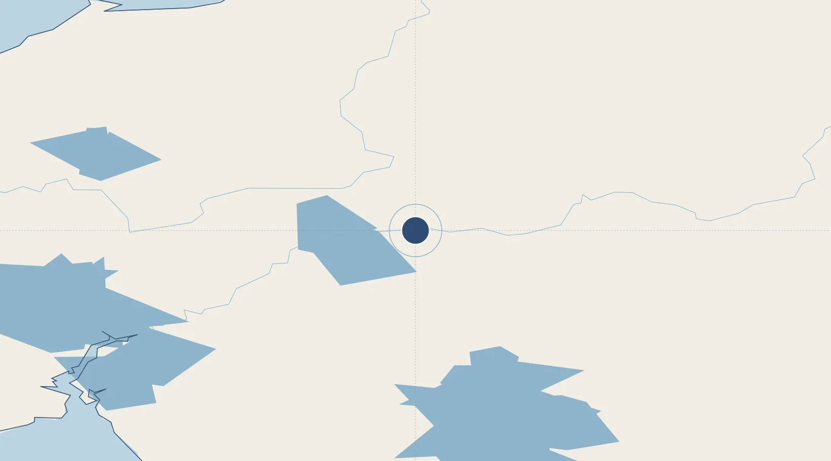
61.5816°, -159.5430°
6,200 ft
Longest runway
1
Runways
88 ft
Elevation
Runway & Layout

Navaids
ANI NDB Aniak 359 kHz
Runways · 1
| Runway | Dimensions | Surface | True heading | Lit |
|---|---|---|---|---|
| 11/29 | 6,200 × 100ft | ASPH-F | 121° | — |
Airport Specifications
IATA code
ANI
ICAO code
PANI
Airport class
Medium airport
Scheduled service
Yes
Runway surface
ASPH-F
Served city
Aniak
Location
Nearby Logistics Neighbours
Airports
- 1Chuathbaluk Airport17 km
- 2Kalskag Airport43 km
- 3Holy Cross Airport69 km
- 4Crooked Creek Airport81 km
- 5Tuluksak Airport92 km
Cities
- 1Sledge Island465 km
- 2Susitna479 km
- 3Jakolof Bay499 km
- 4Port MacKenzie513 km
- 5Houston514 km
Ports
- 1Bethel144 km
- 2St. Michael247 km
- 3Kotlik263 km
- 4Unalakleet264 km
- 5Dillingham289 km
Trade Zones
- 1FTZ No. 160 Anchorage515 km
- 2FTZ No. 232 Kodiak564 km
- 3FTZ No. 195 Fairbanks693 km
- 4FTZ No. 108 Valdez703 km
- 5PrInce George Logistics Park2306 km
DatabookThe Record of Consolidated Knowledge
United States beyond logistics?