Small airport · United States
Crooked Creek AirportCJX
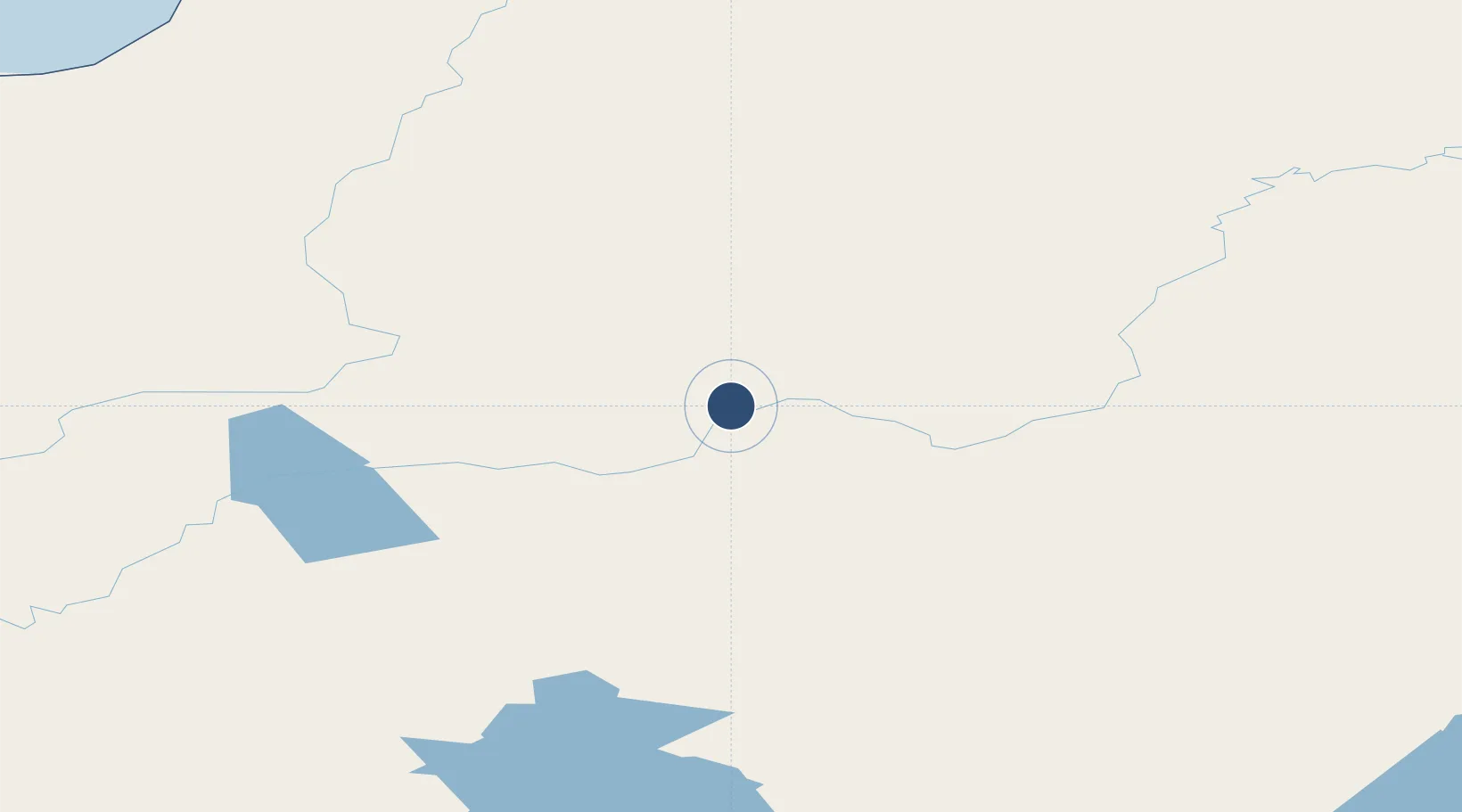
61.8703°, -158.1376°
1,997 ft
Longest runway
1
Runways
178 ft
Elevation
Runway & Layout

Runways · 1
| Runway | Dimensions | Surface | True heading | Lit |
|---|---|---|---|---|
| 13/31 | 1,997 × 60ft | GRVL-DIRT-P | 148° | — |
Airport Specifications
IATA code
CKD
ICAO code
PACJ
Airport class
Small airport
Scheduled service
Yes
Runway surface
GRVL-DIRT-P
Served city
Crooked Creek
Location
Nearby Logistics Neighbours
Airports
- 1Red Devil Airport42 km
- 2Sleetmute Airport55 km
- 3Chuathbaluk Airport65 km
- 4Aniak Airport81 km
- 5Stony River 2 Airport82 km
Cities
- 1Susitna404 km
- 2Houston438 km
- 3Port MacKenzie440 km
- 4Anchorage443 km
- 5Elmendorf Air Force Base447 km
Ports
- 1Bethel224 km
- 2Unalakleet261 km
- 3St. Michael268 km
- 4Kotlik307 km
- 5Dillingham316 km
Trade Zones
- 1FTZ No. 160 Anchorage442 km
- 2FTZ No. 232 Kodiak549 km
- 3FTZ No. 195 Fairbanks615 km
- 4FTZ No. 108 Valdez629 km
- 5PrInce George Logistics Park2235 km
DatabookThe Record of Consolidated Knowledge
United States beyond logistics?