Small airport · United States
Sleetmute AirportPASL
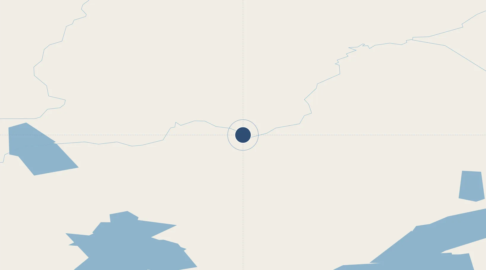
61.7005°, -157.1660°
3,100 ft
Longest runway
1
Runways
190 ft
Elevation
Runway & Layout

Runways · 1
| Runway | Dimensions | Surface | True heading | Lit |
|---|---|---|---|---|
| 14/32 | 3,100 × 60ft | GRAVEL-G | 167° | — |
Airport Specifications
IATA code
SLQ
ICAO code
PASL
Airport class
Small airport
Scheduled service
Yes
Runway surface
GRAVEL-G
Served city
Sleetmute
Location
Nearby Logistics Neighbours
Airports
- 1Red Devil Airport14 km
- 2Stony River 2 Airport32 km
- 3Crooked Creek Airport55 km
- 4Sparrevohn LRRS Airport108 km
- 5Chuathbaluk Airport109 km
Cities
- 1Susitna353 km
- 2Port MacKenzie388 km
- 3Houston388 km
- 4Anchorage390 km
- 5Elmendorf Air Force Base394 km
Ports
- 1Bethel262 km
- 2Drift River299 km
- 3Unalakleet304 km
- 4Dillingham305 km
- 5Clarks Point326 km
Trade Zones
- 1FTZ No. 160 Anchorage390 km
- 2FTZ No. 232 Kodiak510 km
- 3FTZ No. 108 Valdez578 km
- 4FTZ No. 195 Fairbanks587 km
- 5PrInce George Logistics Park2182 km
DatabookThe Record of Consolidated Knowledge
United States beyond logistics?