Small airport · United States
Chuathbaluk Airport9A3
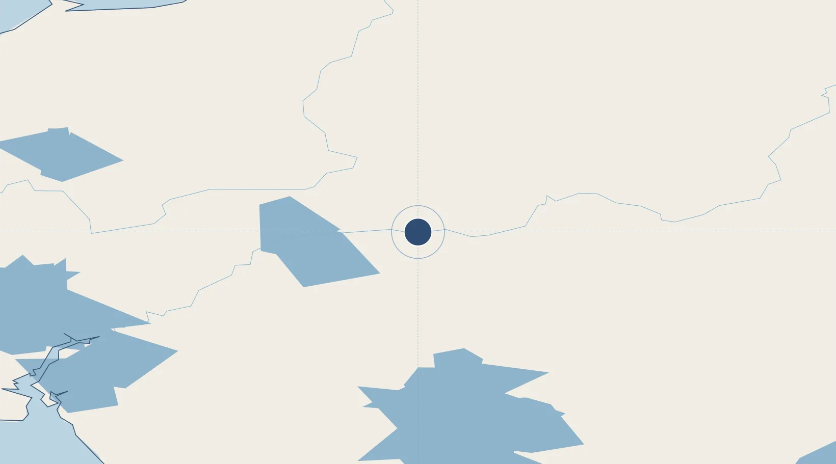
61.5791°, -159.2160°
3,401 ft
Longest runway
1
Runways
244 ft
Elevation
Runway & Layout

Runways · 1
| Runway | Dimensions | Surface | True heading | Lit |
|---|---|---|---|---|
| 9/27 | 3,401 × 60ft | GRVL-E | 106° | ✓ |
Airport Specifications
IATA code
CHU
ICAO code
PACH
Airport class
Small airport
Scheduled service
Yes
Runway surface
GRVL-E
Served city
Chuathbaluk
Location
Nearby Logistics Neighbours
Airports
- 1Aniak Airport17 km
- 2Kalskag Airport60 km
- 3Crooked Creek Airport65 km
- 4Holy Cross Airport74 km
- 5Red Devil Airport101 km
Cities
- 1Susitna461 km
- 2Sledge Island477 km
- 3Jakolof Bay483 km
- 4Port MacKenzie495 km
- 5Houston497 km
Ports
- 1Bethel159 km
- 2St. Michael256 km
- 3Unalakleet268 km
- 4Kotlik276 km
- 5Dillingham286 km
Trade Zones
- 1FTZ No. 160 Anchorage497 km
- 2FTZ No. 232 Kodiak553 km
- 3FTZ No. 195 Fairbanks680 km
- 4FTZ No. 108 Valdez686 km
- 5PrInce George Logistics Park2288 km
DatabookThe Record of Consolidated Knowledge
United States beyond logistics?