Medium airport · United States
Sparrevohn LRRS AirportPASV
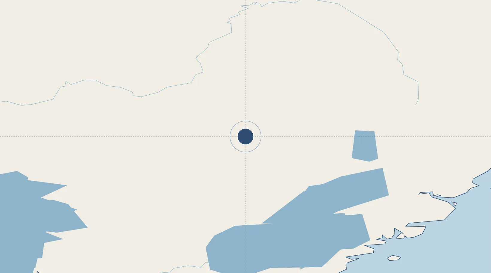
61.0974°, -155.5740°
4,200 ft
Longest runway
1
Runways
1,585 ft
Elevation
Runway & Layout

Radio Frequencies
CNTR
134.3 MHz
ANCHORAGE CNTR
FSS
122.5 MHz
KENAI RDO
UNIC
126.2 MHz
CTAF/UNICOM
Navaids
CRN NDB Cairn Mountain 281 kHz
SQA VOR-DME Sparrevohn 117.20 MHz
Runways · 1
| Runway | Dimensions | Surface | True heading | Lit |
|---|---|---|---|---|
| 17/35 | 4,200 × 150ft | Gravel | 182° | ✓ |
Airport Specifications
IATA code
SVW
ICAO code
PASV
Airport class
Medium airport
Scheduled service
No
Runway surface
Gravel
Served city
Sparrevohn
Location
Nearby Logistics Neighbours
Airports
- 1Stony River 2 Airport94 km
- 2Sleetmute Airport108 km
- 3Port Alsworth Airport121 km
- 4Red Devil Airport122 km
- 5Iliamna Airport154 km
Cities
- 1Susitna275 km
- 2Jakolof Bay289 km
- 3Port MacKenzie304 km
- 4Anchorage306 km
- 5Elmendorf Air Force Base310 km
Ports
- 1Drift River196 km
- 2Nikiski230 km
- 3Kenai241 km
- 4Ninilchik242 km
- 5Naknek277 km
Trade Zones
- 1FTZ No. 160 Anchorage305 km
- 2FTZ No. 232 Kodiak417 km
- 3FTZ No. 108 Valdez495 km
- 4FTZ No. 195 Fairbanks575 km
- 5PrInce George Logistics Park2089 km
DatabookThe Record of Consolidated Knowledge
United States beyond logistics?