Medium airport · United States
Deadhorse AirportPASC
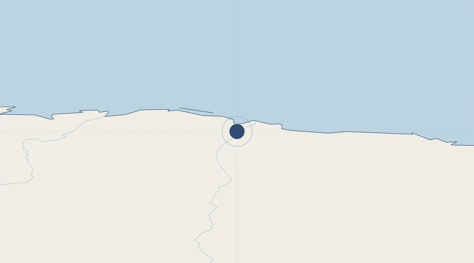
70.1947°, -148.4650°
6,500 ft
Longest runway
1
Runways
65 ft
Elevation
Runway & Layout

Radio Frequencies
ATIS
118.4 MHz
CTAF
123.6 MHz
CNTR
134.4 MHz
ANCHORAGE CNTR
FSS
122.2 MHz
RDO
UNIC
123 MHz
UNICOM
Navaids
PVQ NDB Put River 376 kHz
SCC VOR-DME Deadhorse 113.90 MHz
Runways · 1
| Runway | Dimensions | Surface | True heading | Lit |
|---|---|---|---|---|
| 05/23 | 6,500 × 150ft | ASPH-G | 075° | — |
Airport Specifications
IATA code
SCC
ICAO code
PASC
Airport class
Medium airport
Scheduled service
Yes
Runway surface
ASPH-G
Served city
Deadhorse
Location
Nearby Logistics Neighbours
Airports
- 1Nuiqsut Airport96 km
- 2Barter Island Long Range Radar Station Airport184 km
- 3Arctic Village Airport258 km
- 4Anaktuvuk Pass Airport263 km
- 5Venetie Airport364 km
Cities
- 1Point Barrow324 km
- 2Herschel Island366 km
- 3Houston954 km
- 4Susitna967 km
- 5Port MacKenzie995 km
Ports
- 1Prudhoe Bay16 km
- 2Barrow328 km
- 3Wainwright432 km
- 4Unalakleet879 km
- 5Anchorage1000 km
Trade Zones
- 1FTZ No. 195 Fairbanks596 km
- 2FTZ No. 160 Anchorage998 km
- 3FTZ No. 108 Valdez1012 km
- 4FTZ No. 232 Kodiak1436 km
- 5PrInce George Logistics Park2215 km
DatabookThe Record of Consolidated Knowledge
United States beyond logistics?