Medium airport · United States
Barter Island Long Range Radar Station AirportPABA
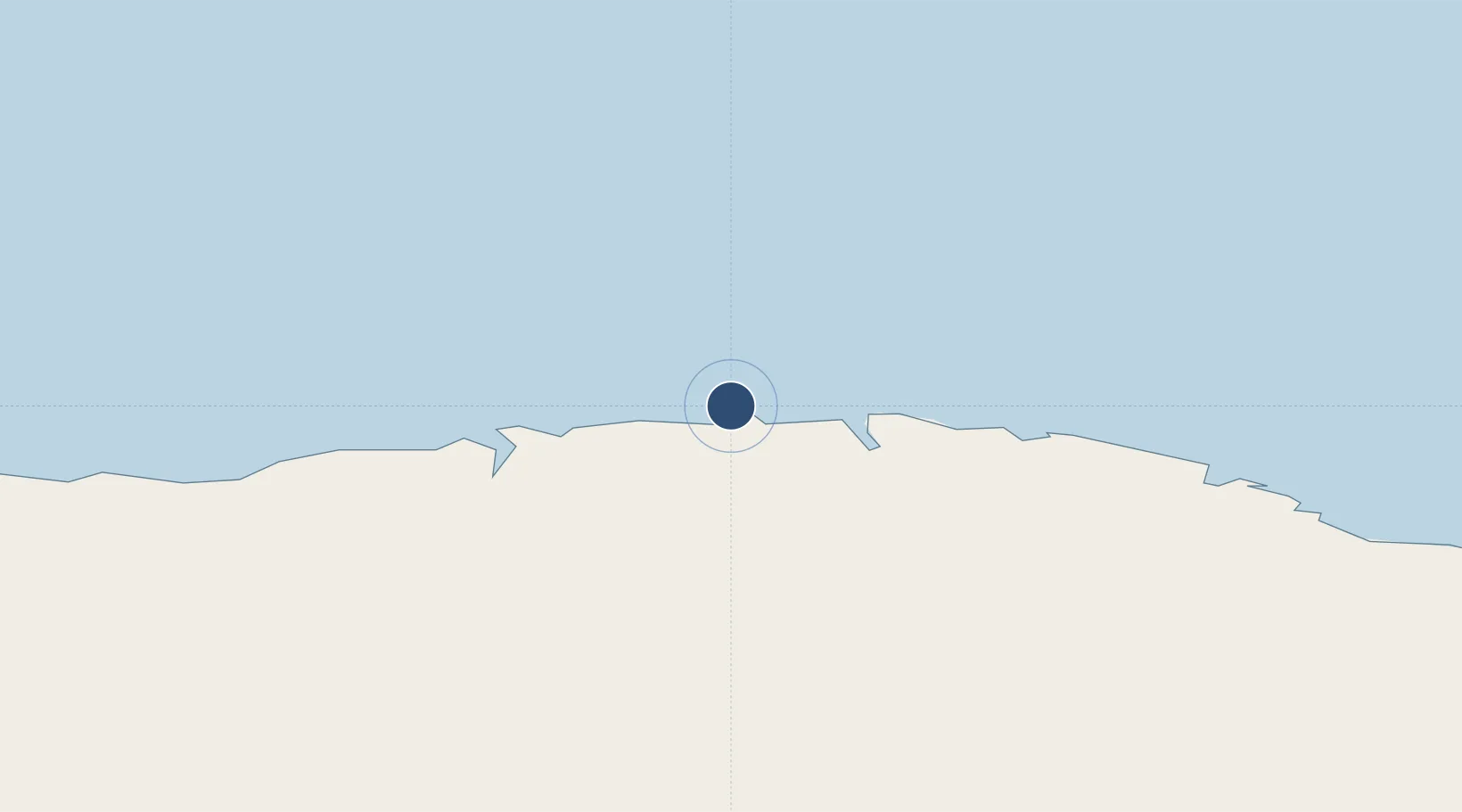
70.1340°, -143.5820°
4,500 ft
Longest runway
1
Runways
2 ft
Elevation
Runway & Layout

Radio Frequencies
AWOS
30.8 MHz
AWOS 3
CTAF
126.2 MHz
CNTR
120.6 MHz
ANCHORAGE CNTR
FSS
122 MHz
DEADHORSE RDO
RDO
126.2 MHz
Navaids
BTI NDB Barter Island 308 kHz
Runways · 1
| Runway | Dimensions | Surface | True heading | Lit |
|---|---|---|---|---|
| 07/25 | 4,500 × 100ft | GRAVEL-P | 093° | — |
Airport Specifications
IATA code
BTI
ICAO code
PABA
Airport class
Medium airport
Scheduled service
Yes
Runway surface
GRAVEL-P
Served city
Barter Island
Location
Nearby Logistics Neighbours
Airports
- 1Deadhorse Airport184 km
- 2Arctic Village Airport238 km
- 3Old Crow Airport322 km
- 4Venetie Airport365 km
- 5Chalkyitsik Airport388 km
Cities
- 1Herschel Island184 km
- 2Point Barrow496 km
- 3Houston986 km
- 4Susitna1005 km
- 5Valdez1009 km
Ports
- 1Prudhoe Bay183 km
- 2Valdez1010 km
- 3Anchorage1032 km
- 4Whittier1066 km
- 5Orca1066 km
Trade Zones
- 1FTZ No. 195 Fairbanks614 km
- 2FTZ No. 108 Valdez1009 km
- 3FTZ No. 160 Anchorage1029 km
- 4FTZ No. 232 Kodiak1488 km
- 5PrInce George Logistics Park2081 km
DatabookThe Record of Consolidated Knowledge
United States beyond logistics?