Small airport · United States
Venetie AirportPAVE
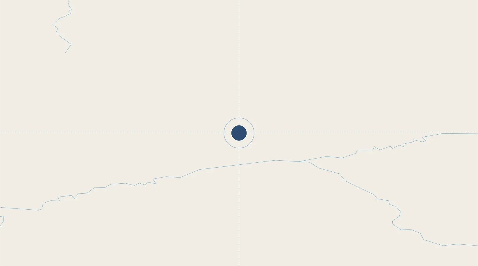
67.0087°, -146.3660°
4,000 ft
Longest runway
1
Runways
574 ft
Elevation
Runway & Layout

Runways · 1
| Runway | Dimensions | Surface | True heading | Lit |
|---|---|---|---|---|
| 04/22 | 4,000 × 75ft | GRVL-DIRT-E | 062° | — |
Airport Specifications
IATA code
VEE
ICAO code
PAVE
Airport class
Small airport
Scheduled service
Yes
Runway surface
GRVL-DIRT-E
Served city
Venetie
Location
Nearby Logistics Neighbours
Airports
- 1Fort Yukon Airport69 km
- 2Birch Creek Airport85 km
- 3Beaver Airport85 km
- 4Chalkyitsik Airport122 km
- 5Arctic Village Airport127 km
Cities
- 1Herschel Island413 km
- 2Houston620 km
- 3Point Barrow625 km
- 4Susitna640 km
- 5Valdez654 km
Ports
- 1Prudhoe Bay379 km
- 2Valdez655 km
- 3Anchorage666 km
- 4Whittier702 km
- 5Orca715 km
Trade Zones
- 1FTZ No. 195 Fairbanks248 km
- 2FTZ No. 108 Valdez653 km
- 3FTZ No. 160 Anchorage664 km
- 4FTZ No. 232 Kodiak1124 km
- 5PrInce George Logistics Park1924 km
DatabookThe Record of Consolidated Knowledge
United States beyond logistics?