Medium airport · United States
Northway AirportPAOR
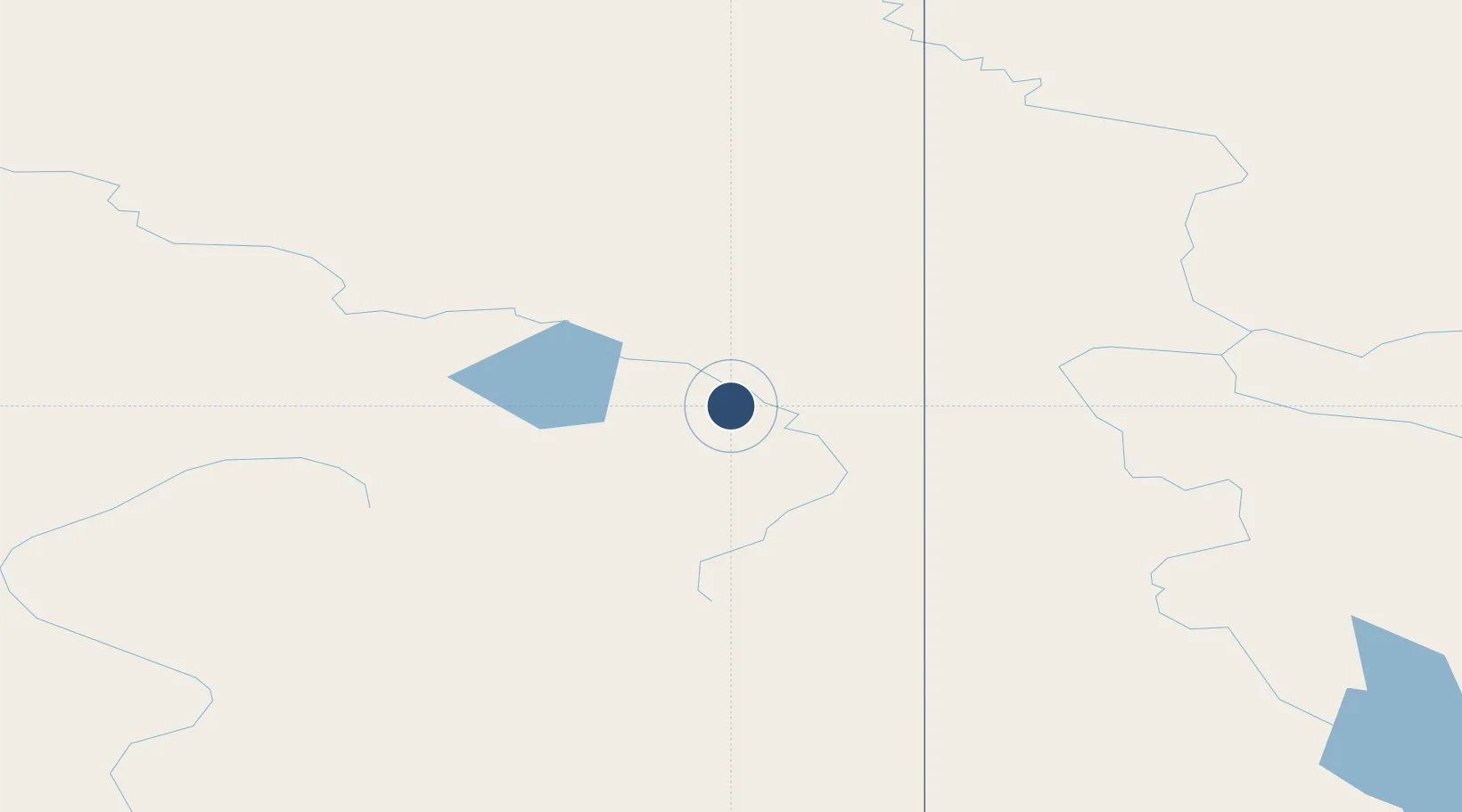
62.9613°, -141.9290°
5,100 ft
Longest runway
1
Runways
1,715 ft
Elevation
Runway & Layout

Radio Frequencies
ASOS
135.4 MHz
CTAF
123.6 MHz
CNTR
126.55 MHz
ANCHORAGE CNTR
FSS
122.2 MHz
RDO
MISC
125.3 MHz
SUAS INFO SVC
Navaids
AES NDB Nabesna 390 kHz
ORT VORTAC Northway 116.30 MHz
Runways · 1
| Runway | Dimensions | Surface | True heading | Lit |
|---|---|---|---|---|
| 05/23 | 5,100 × 100ft | GRVL-DIRT-G | 076° | — |
Airport Specifications
IATA code
ORT
ICAO code
PAOR
Airport class
Medium airport
Scheduled service
Yes
Runway surface
GRVL-DIRT-G
Served city
Northway
Location
Nearby Logistics Neighbours
Airports
- 1Tok Junction Airport66 km
- 2Beaver Creek Airport82 km
- 3Chicken Airport123 km
- 4Dawson City Airport184 km
- 5May Creek Airport185 km
Cities
- 1Valdez306 km
- 2Orca332 km
- 3Cordova334 km
- 4Houston433 km
- 5Elmendorf Air Force Base451 km
Trade Zones
- 1FTZ No. 108 Valdez308 km
- 2FTZ No. 195 Fairbanks352 km
- 3FTZ No. 160 Anchorage456 km
- 4FTZ No. 232 Kodiak888 km
- 5PrInce George Logistics Park1492 km
DatabookThe Record of Consolidated Knowledge
United States beyond logistics?