Small airport · United States

Tok Junction AirportPFTO

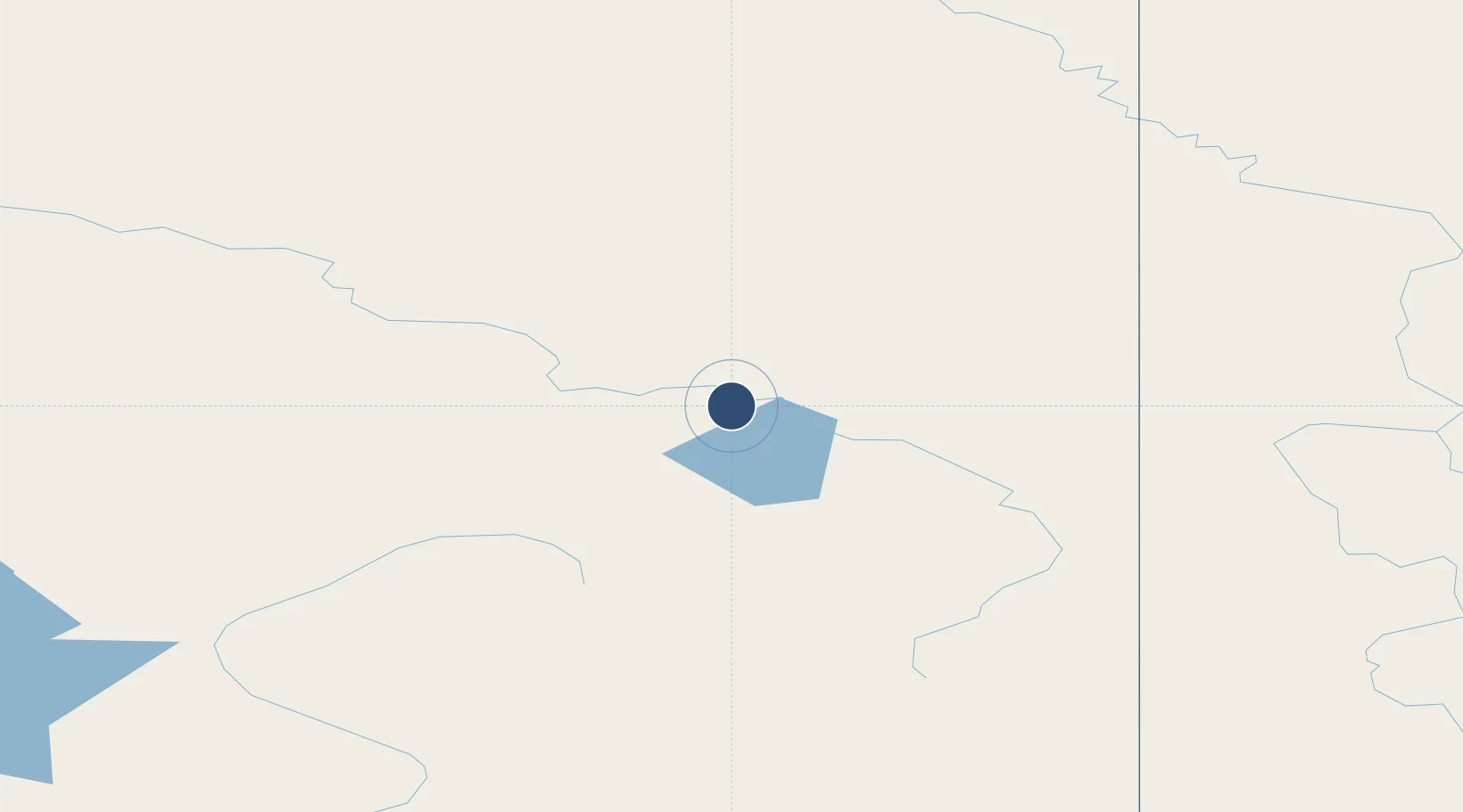
63.3295°, -142.9540°
2,509 ft
Longest runway
1
Runways
1,639 ft
Elevation

Runway & Layout

Tok Junction Airport runway & taxiway layout
Runway & taxiway layout — OpenStreetMap (ODbL) / OurAirports

Runways · 1

RunwayDimensions SurfaceTrue headingLit
07/25 2,509 × 50ft ASPH-P 099°
OurAirports

Airport Specifications

IATA code
TKJ
OurAirports
ICAO code
PFTO
OurAirports
Airport class
Small airport
OurAirports
Scheduled service
Yes
OurAirports
Runway surface
ASPH-P
OurAirports
Served city
Tok
OurAirports

Location

Location of PFTO
Natural Earth 10m (public domain) · Alaska · PFTO · 63.33, -142.95GoogleOSMYandex

Nearby Logistics Neighbours

Airports
  1. 1Northway Airport66 km
  2. 2Chicken Airport96 km
  3. 3Beaver Creek Airport147 km
  4. 4Allen Army Airfield155 km
  5. 5Gulkana Airport182 km
Nearest neighbours — logibook spatial index (haversine) over the source coordinates
Cities
  1. 1Valdez300 km
  2. 2Orca339 km
  3. 3Cordova341 km
  4. 4Houston400 km
  5. 5Elmendorf Air Force Base423 km
Nearest neighbours — logibook spatial index (haversine) over the source coordinates
Ports
  1. 1Valdez299 km
  2. 2Orca338 km
  3. 3Cordova342 km
  4. 4Whittier412 km
  5. 5Anchorage429 km
Nearest neighbours — logibook spatial index (haversine) over the source coordinates
Trade Zones
  1. 1FTZ No. 195 Fairbanks286 km
  2. 2FTZ No. 108 Valdez301 km
  3. 3FTZ No. 160 Anchorage427 km
  4. 4FTZ No. 232 Kodiak876 km
  5. 5PrInce George Logistics Park1557 km
Nearest neighbours — logibook spatial index (haversine) over the source coordinates
DatabookThe Record of Consolidated Knowledge
United States beyond logistics?
Browse databook

All Sources

AirportsOurAirports
Public domain
Portsthe NGA World Port Index
Public domain (US gov)
LocationsUN/LOCODE
UN/LOCODE — free
Trade Zonesthe World Bank SEZ database
CC BY 4.0
Trade ZonesOpen Zone Map
CC BY
InfrastructureOpenStreetMap
ODbL 1.0
← United States airports