Medium airport · Canada

Beaver Creek AirportCYXQ

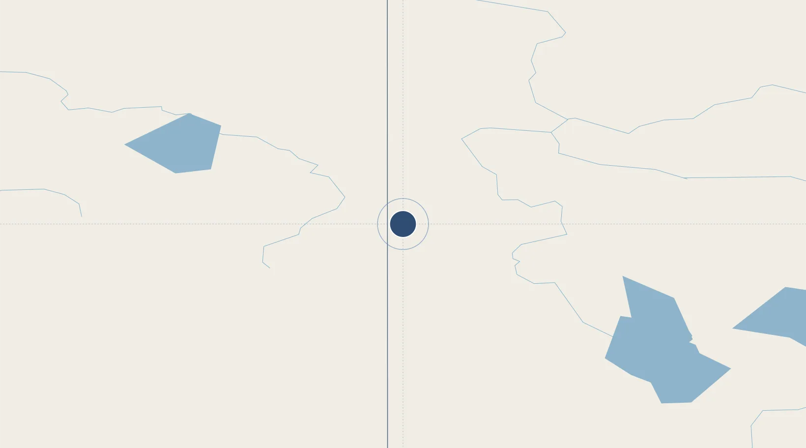
62.4103°, -140.8670°
3,745 ft
Longest runway
1
Runways
2,131 ft
Elevation

Runway & Layout

Beaver Creek Airport runway & taxiway layout
Runway & taxiway layout — OpenStreetMap (ODbL) / OurAirports

Navaids

YXQ NDB Beaver Creek 239 kHz
OurAirports

Runways · 1

RunwayDimensions SurfaceTrue headingLit
14/32 3,745 × 100ft GRVL 162°
OurAirports

Airport Specifications

IATA code
YXQ
OurAirports
ICAO code
CYXQ
OurAirports
Airport class
Medium airport
OurAirports
Scheduled service
No
OurAirports
Runway surface
GRVL
OurAirports
Served city
Beaver Creek
OurAirports

Location

Location of CYXQ
Natural Earth 10m (public domain) · Yukon · CYXQ · 62.41, -140.87GoogleOSMYandex

Nearby Logistics Neighbours

Airports
  1. 1Northway Airport82 km
  2. 2Tok Junction Airport147 km
  3. 3Burwash Airport150 km
  4. 4May Creek Airport153 km
  5. 5Chicken Airport192 km
Nearest neighbours — logibook spatial index (haversine) over the source coordinates
Cities
  1. 1Valdez320 km
  2. 2Orca328 km
  3. 3Cordova331 km
  4. 4Houston474 km
  5. 5Elmendorf Air Force Base486 km
Nearest neighbours — logibook spatial index (haversine) over the source coordinates
Ports
  1. 1Valdez318 km
  2. 2Yakutat324 km
  3. 3Orca328 km
  4. 4Cordova332 km
  5. 5Skagway444 km
Nearest neighbours — logibook spatial index (haversine) over the source coordinates
Trade Zones
  1. 1FTZ No. 108 Valdez322 km
  2. 2FTZ No. 195 Fairbanks433 km
  3. 3FTZ No. 160 Anchorage491 km
  4. 4FTZ No. 232 Kodiak897 km
  5. 5PrInce George Logistics Park1413 km
Nearest neighbours — logibook spatial index (haversine) over the source coordinates
DatabookThe Record of Consolidated Knowledge
Canada beyond logistics?
Browse databook

All Sources

AirportsOurAirports
Public domain
Portsthe NGA World Port Index
Public domain (US gov)
LocationsUN/LOCODE
UN/LOCODE — free
Trade Zonesthe World Bank SEZ database
CC BY 4.0
Trade ZonesOpen Zone Map
CC BY
InfrastructureOpenStreetMap
ODbL 1.0
← Canada airports