Small airport · United States

Chicken AirportCKX

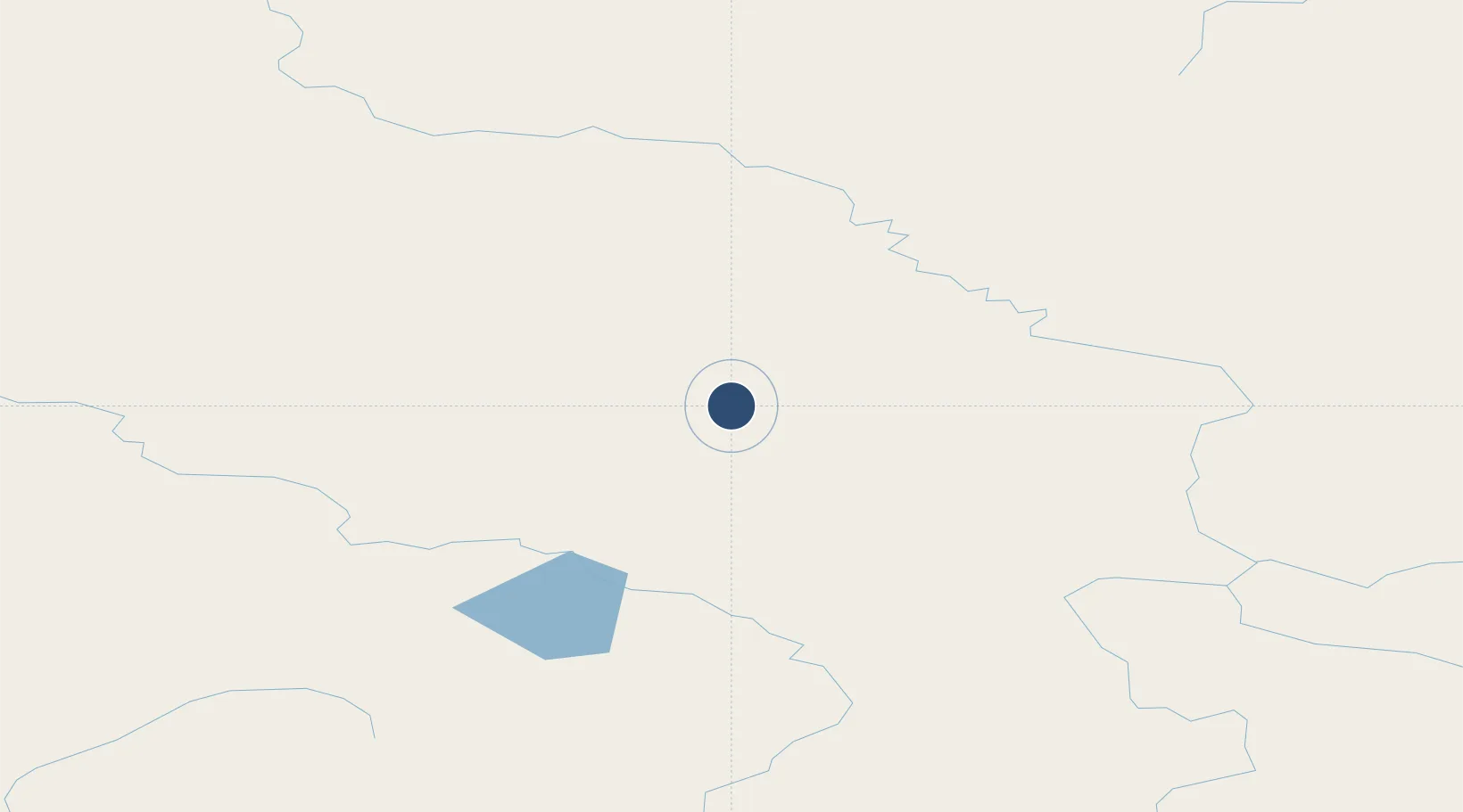
64.0665°, -141.9513°
2,500 ft
Longest runway
1
Runways
1,640 ft
Elevation

Runway & Layout

Chicken Airport runway & taxiway layout
Runway & taxiway layout — OpenStreetMap (ODbL) / OurAirports

Runways · 1

RunwayDimensions SurfaceTrue headingLit
13/31 2,500 × 60ft GRAVEL-G
OurAirports

Airport Specifications

IATA code
CKX
OurAirports
ICAO code
CKX
OurAirports
Airport class
Small airport
OurAirports
Scheduled service
Yes
OurAirports
Runway surface
GRAVEL-G
OurAirports
Served city
Chicken
OurAirports

Location

Location of CKX
Natural Earth 10m (public domain) · Alaska · CKX · 64.07, -141.95GoogleOSMYandex

Nearby Logistics Neighbours

Airports
  1. 1Eagle Airport88 km
  2. 2Tok Junction Airport96 km
  3. 3Northway Airport123 km
  4. 4Dawson City Airport137 km
  5. 5Allen Army Airfield184 km
Nearest neighbours — logibook spatial index (haversine) over the source coordinates
Cities
  1. 1Valdez396 km
  2. 2Orca435 km
  3. 3Cordova437 km
  4. 4Houston482 km
  5. 5Elmendorf Air Force Base508 km
Nearest neighbours — logibook spatial index (haversine) over the source coordinates
Ports
  1. 1Valdez395 km
  2. 2Orca433 km
  3. 3Cordova438 km
  4. 4Whittier504 km
  5. 5Anchorage515 km
Nearest neighbours — logibook spatial index (haversine) over the source coordinates
Trade Zones
  1. 1FTZ No. 195 Fairbanks290 km
  2. 2FTZ No. 108 Valdez396 km
  3. 3FTZ No. 160 Anchorage512 km
  4. 4FTZ No. 232 Kodiak968 km
  5. 5PrInce George Logistics Park1564 km
Nearest neighbours — logibook spatial index (haversine) over the source coordinates
DatabookThe Record of Consolidated Knowledge
United States beyond logistics?
Browse databook

All Sources

AirportsOurAirports
Public domain
Portsthe NGA World Port Index
Public domain (US gov)
LocationsUN/LOCODE
UN/LOCODE — free
Trade Zonesthe World Bank SEZ database
CC BY 4.0
Trade ZonesOpen Zone Map
CC BY
InfrastructureOpenStreetMap
ODbL 1.0
← United States airports