Small airport · United States
May Creek AirportMYK
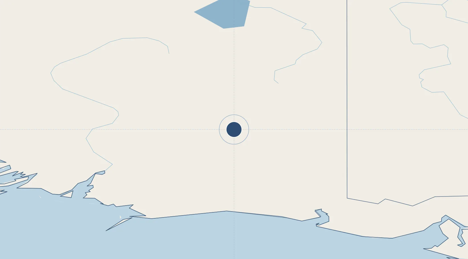
61.3357°, -142.6870°
2,700 ft
Longest runway
1
Runways
1,650 ft
Elevation
Runway & Layout

Runways · 1
| Runway | Dimensions | Surface | True heading | Lit |
|---|---|---|---|---|
| 13/31 | 2,700 × 100ft | TURF-GRVL-F | — | — |
Airport Specifications
IATA code
MYK
ICAO code
KMYK
Airport class
Small airport
Scheduled service
Yes
Runway surface
TURF-GRVL-F
Served city
May Creek
Location
Nearby Logistics Neighbours
Airports
- 1Yakataga Airport140 km
- 2Beaver Creek Airport153 km
- 3Gulkana Airport172 km
- 4Merle K (Mudhole) Smith Airport178 km
- 5Northway Airport185 km
Cities
- 1Orca184 km
- 2Cordova187 km
- 3Valdez195 km
- 4Houston380 km
- 5Elmendorf Air Force Base380 km
Ports
- 1Orca184 km
- 2Cordova188 km
- 3Valdez192 km
- 4Yakutat256 km
- 5San Juan Cannery326 km
Trade Zones
- 1FTZ No. 108 Valdez198 km
- 2FTZ No. 160 Anchorage385 km
- 3FTZ No. 195 Fairbanks465 km
- 4FTZ No. 232 Kodiak754 km
- 5PrInce George Logistics Park1436 km
DatabookThe Record of Consolidated Knowledge
United States beyond logistics?