Medium airport · United States
Anvik AirportPANV
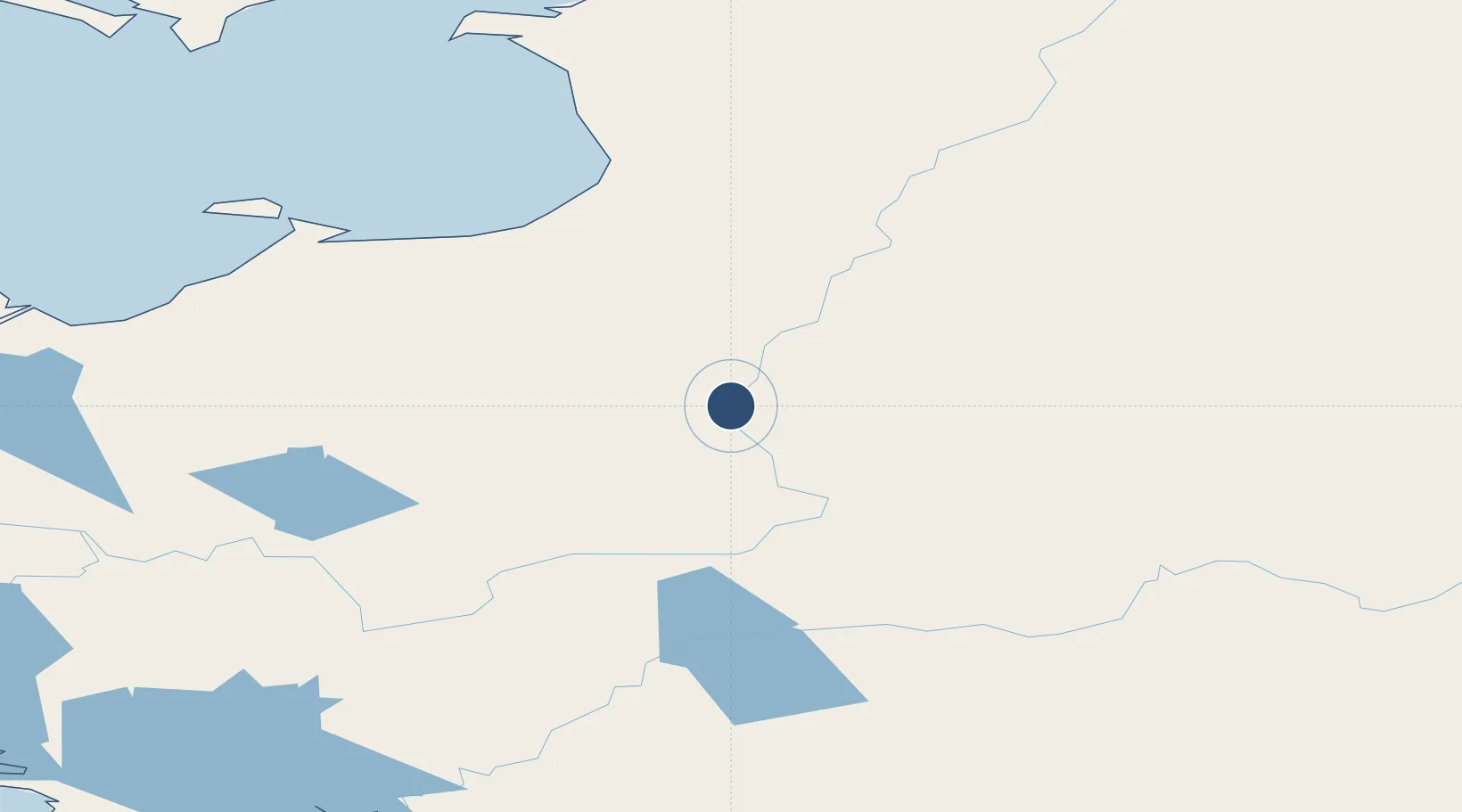
62.6467°, -160.1910°
4,000 ft
Longest runway
1
Runways
291 ft
Elevation
Runway & Layout

Radio Frequencies
AWOS
133.55 MHz
AWOS 3
CNTR
135.7 MHz
ANCHORAGE CNTR
FSS
122.4 MHz
KENAI RDO
UNIC
122.7 MHz
CTAF/UNICOM
Navaids
ANV NDB-DME Anvik 0.36 MHz
Runways · 1
| Runway | Dimensions | Surface | True heading | Lit |
|---|---|---|---|---|
| 17/35 | 4,000 × 75ft | Gravel | 187° | ✓ |
Airport Specifications
IATA code
ANV
ICAO code
PANV
Airport class
Medium airport
Scheduled service
Yes
Runway surface
Gravel
Served city
Anvik
Location
Nearby Logistics Neighbours
Airports
- 1Grayling Airport28 km
- 2Holy Cross Airport55 km
- 3Russian Mission Airport113 km
- 4Aniak Airport123 km
- 5Kalskag Airport124 km
Cities
- 1Sledge Island361 km
- 2Susitna519 km
- 3Houston550 km
- 4Port MacKenzie558 km
- 5Anchorage561 km
Ports
- 1St. Michael131 km
- 2Unalakleet141 km
- 3Kotlik176 km
- 4Bethel219 km
- 5Solomon297 km
Trade Zones
- 1FTZ No. 160 Anchorage560 km
- 2FTZ No. 195 Fairbanks659 km
- 3FTZ No. 232 Kodiak679 km
- 4FTZ No. 108 Valdez742 km
- 5PrInce George Logistics Park2351 km
DatabookThe Record of Consolidated Knowledge
United States beyond logistics?