Small airport · United States
Grayling AirportKGX
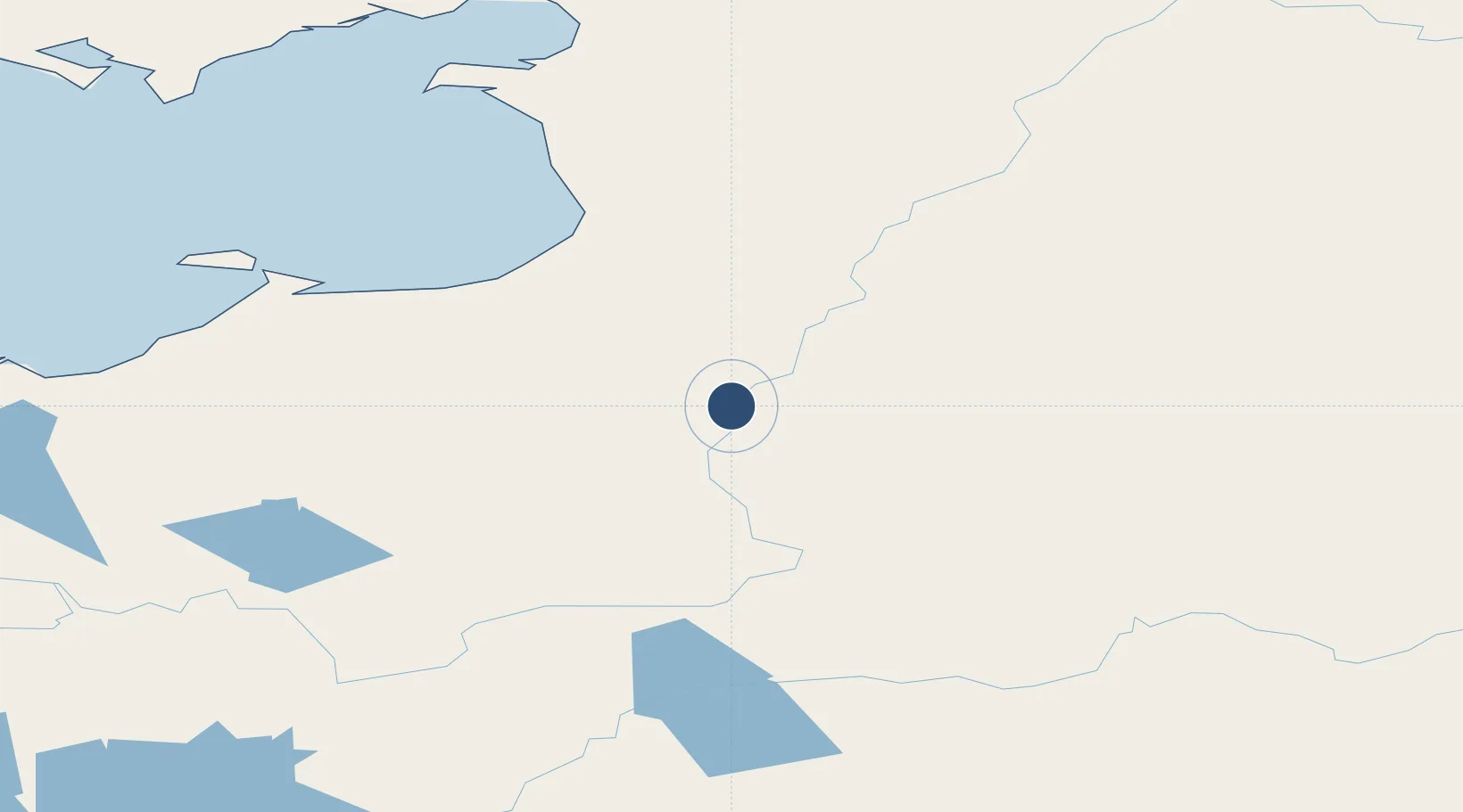
62.8952°, -160.0663°
4,000 ft
Longest runway
1
Runways
99 ft
Elevation
Runway & Layout

Runways · 1
| Runway | Dimensions | Surface | True heading | Lit |
|---|---|---|---|---|
| 17/35 | 4,000 × 75ft | GRAVEL-G | — | ✓ |
Airport Specifications
IATA code
KGX
ICAO code
PAGX
Airport class
Small airport
Scheduled service
Yes
Runway surface
GRAVEL-G
Served city
Grayling
Location
Nearby Logistics Neighbours
Airports
- 1Anvik Airport28 km
- 2Holy Cross Airport80 km
- 3Unalakleet Airport116 km
- 4St Michael Airport122 km
- 5Stebbins Airport131 km
Cities
- 1Sledge Island350 km
- 2Susitna518 km
- 3Houston548 km
- 4Port MacKenzie558 km
- 5Anchorage561 km
Ports
- 1Unalakleet116 km
- 2St. Michael118 km
- 3Kotlik177 km
- 4Bethel247 km
- 5Solomon282 km
Trade Zones
- 1FTZ No. 160 Anchorage561 km
- 2FTZ No. 195 Fairbanks641 km
- 3FTZ No. 232 Kodiak698 km
- 4FTZ No. 108 Valdez740 km
- 5PrInce George Logistics Park2349 km
DatabookThe Record of Consolidated Knowledge
United States beyond logistics?