Medium airport · United States
Mekoryuk AirportPAMY
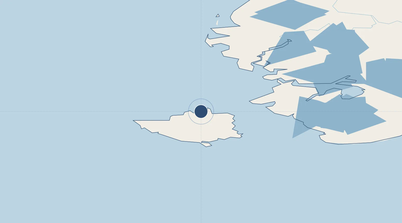
60.3723°, -166.2698°
3,070 ft
Longest runway
1
Runways
48 ft
Elevation
Runway & Layout

Radio Frequencies
AWOS
123.9 MHz
AWOS 3
CTAF
122.9 MHz
CNTR
124.5 MHz
ANCHORAGE CNTR
FSS
122 MHz
KENAI RDO
MISC
32.3 MHz
TWEB
Navaids
AIX NDB-DME Nanwak 0.32 MHz
Runways · 1
| Runway | Dimensions | Surface | True heading | Lit |
|---|---|---|---|---|
| 05/23 | 3,070 × 75ft | Gravel | 067° | ✓ |
Airport Specifications
IATA code
MYU
ICAO code
PAMY
Airport class
Medium airport
Scheduled service
Yes
Runway surface
Gravel
Served city
Mekoryuk
Location
Nearby Logistics Neighbours
Airports
- 1Tununak Airport60 km
- 2Toksook Bay Airport68 km
- 3Nightmute Airport87 km
- 4Mertarvik Airport108 km
- 5Newtok Seaplane Base109 km
Cities
- 1Sledge Island457 km
- 2Provideniya, Bukhta574 km
- 3Lavrentiya626 km
- 4Lenard Harbour627 km
- 5Uelen668 km
Ports
- 1Bethel253 km
- 2Platinum291 km
- 3Kotlik329 km
- 4St. Michael411 km
- 5Savoonga426 km
Trade Zones
- 1FTZ No. 232 Kodiak790 km
- 2FTZ No. 160 Anchorage891 km
- 3FTZ No. 195 Fairbanks1066 km
- 4FTZ No. 108 Valdez1081 km
- 5PrInce George Logistics Park2667 km
DatabookThe Record of Consolidated Knowledge
United States beyond logistics?