Small airport · United States
Mertarvik AirportPAEW
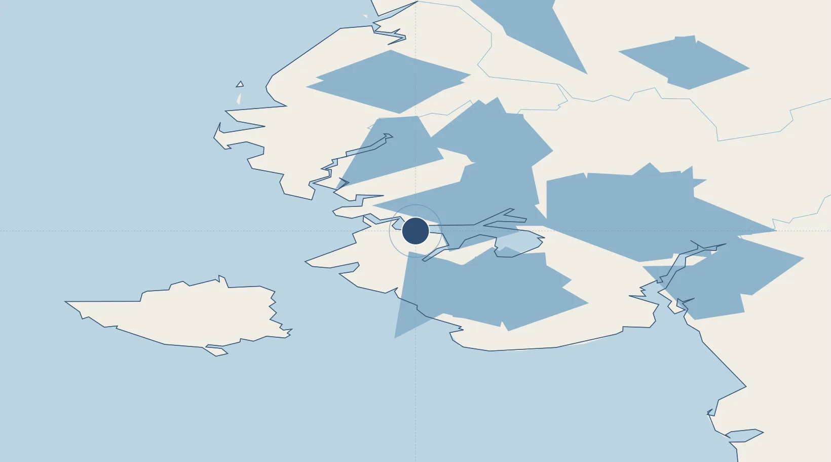
60.8104°, -164.4995°
3,300 ft
Longest runway
1
Runways
346 ft
Elevation
Runway & Layout

Runways · 1
| Runway | Dimensions | Surface | True heading | Lit |
|---|---|---|---|---|
| 12/30 | 3,300 × 75ft | Gravel | 130° | ✓ |
Airport Specifications
IATA code
WWT
ICAO code
PAEW
Airport class
Small airport
Scheduled service
Yes
Runway surface
Gravel
Served city
Mertarvik
Location
Nearby Logistics Neighbours
Airports
- 1Newtok Seaplane Base16 km
- 2Nightmute Airport40 km
- 3Toksook Bay Airport44 km
- 4Tununak Airport49 km
- 5Chefornak Airport76 km
Cities
- 1Sledge Island418 km
- 2Provideniya, Bukhta600 km
- 3Lavrentiya622 km
- 4Lenard Harbour645 km
- 5Uelen651 km
Ports
- 1Bethel151 km
- 2Platinum249 km
- 3Kotlik252 km
- 4St. Michael324 km
- 5Dillingham389 km
Trade Zones
- 1FTZ No. 232 Kodiak719 km
- 2FTZ No. 160 Anchorage787 km
- 3FTZ No. 195 Fairbanks959 km
- 4FTZ No. 108 Valdez976 km
- 5PrInce George Logistics Park2569 km
DatabookThe Record of Consolidated Knowledge
United States beyond logistics?