Small airport · United States
Tununak Airport4KA
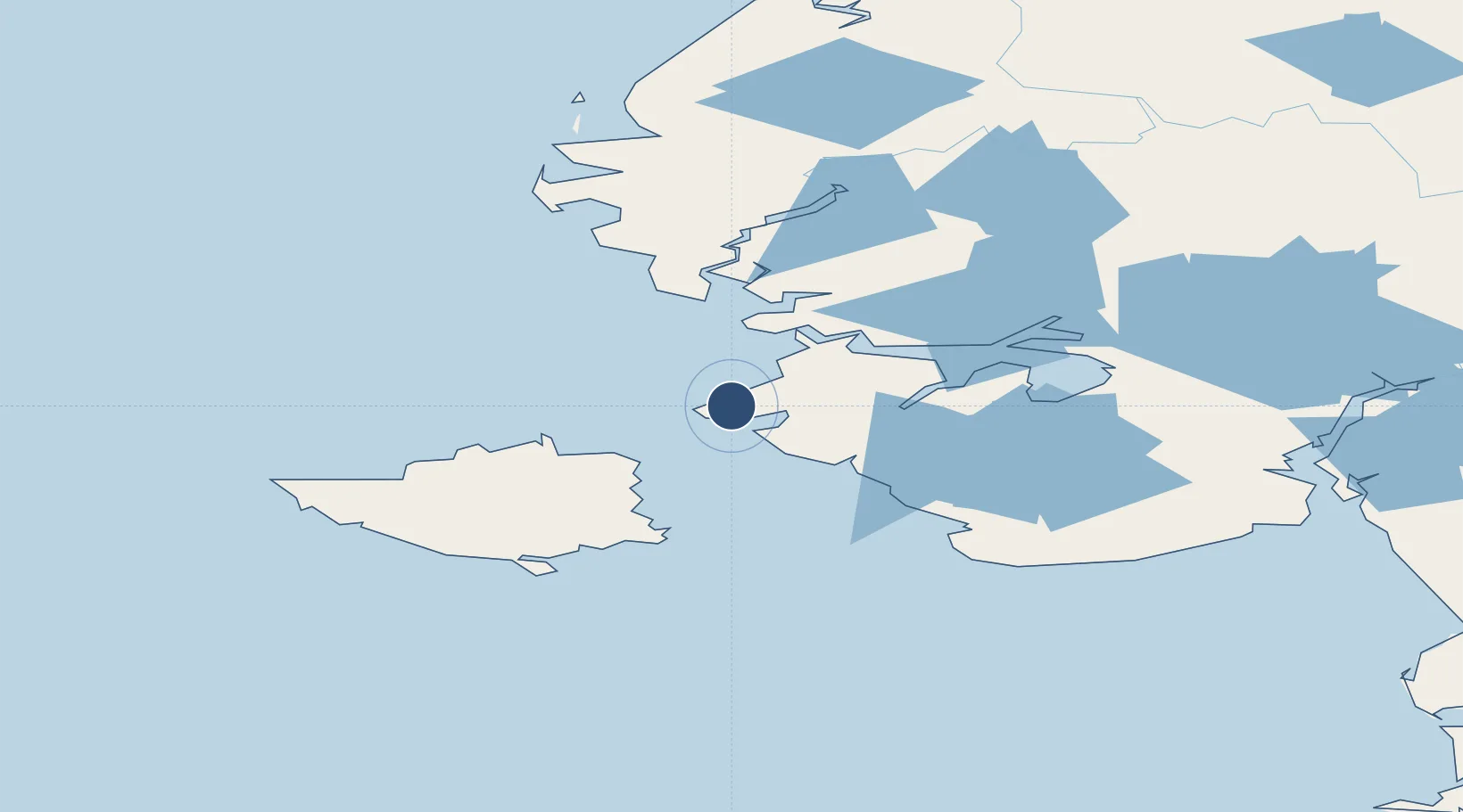
60.5696°, -165.2466°
1,778 ft
Longest runway
1
Runways
14 ft
Elevation
Runway & Layout

Runways · 1
| Runway | Dimensions | Surface | True heading | Lit |
|---|---|---|---|---|
| 08/26 | 1,778 × 30ft | GRVL-P | 101° | ✓ |
Airport Specifications
IATA code
TNK
ICAO code
POKA
Airport class
Small airport
Scheduled service
Yes
Runway surface
GRVL-P
Served city
Tununak
Location
Nearby Logistics Neighbours
Airports
- 1Toksook Bay Airport9 km
- 2Nightmute Airport32 km
- 3Mertarvik Airport49 km
- 4Newtok Seaplane Base53 km
- 5Mekoryuk Airport60 km
Cities
- 1Sledge Island438 km
- 2Provideniya, Bukhta592 km
- 3Lavrentiya628 km
- 4Lenard Harbour629 km
- 5Uelen662 km
Ports
- 1Bethel194 km
- 2Platinum257 km
- 3Kotlik288 km
- 4St. Michael365 km
- 5Dillingham415 km
Trade Zones
- 1FTZ No. 232 Kodiak745 km
- 2FTZ No. 160 Anchorage832 km
- 3FTZ No. 195 Fairbanks1008 km
- 4FTZ No. 108 Valdez1021 km
- 5PrInce George Logistics Park2610 km
DatabookThe Record of Consolidated Knowledge
United States beyond logistics?