Small airport · United States
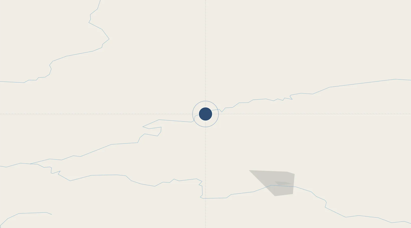
Stevens Village AirportSVS
66.0167°, -149.0568°
4,000 ft
Longest runway
1
Runways
328 ft
Elevation
Runway & Layout

Runways · 1
| Runway | Dimensions | Surface | True heading | Lit |
|---|---|---|---|---|
| 05/23 | 4,000 × 75ft | GRVL-G | — | — |
Airport Specifications
IATA code
SVS
ICAO code
PFSV
Airport class
Small airport
Scheduled service
Yes
Runway surface
GRVL-G
Served city
Stevens Village
Location
Nearby Logistics Neighbours
Airports
- 1Rampart Airport75 km
- 2Beaver Airport83 km
- 3Minto Al Wright Airport98 km
- 4Manley Hot Springs Airport135 km
- 5Fairbanks International Airport145 km
Cities
- 1Houston489 km
- 2Susitna504 km
- 3Port MacKenzie530 km
- 4Elmendorf Air Force Base531 km
- 5Anchorage533 km
Ports
- 1Prudhoe Bay481 km
- 2Anchorage535 km
- 3Valdez562 km
- 4Whittier583 km
- 5Nikiski604 km
Trade Zones
- 1FTZ No. 195 Fairbanks144 km
- 2FTZ No. 160 Anchorage533 km
- 3FTZ No. 108 Valdez559 km
- 4FTZ No. 232 Kodiak980 km
- 5PrInce George Logistics Park1961 km
DatabookThe Record of Consolidated Knowledge
United States beyond logistics?