UN/LOCODE hub · Türkiye
TRHAE

Harbiye

36.1333°, 36.1333°
1
Transport functions

Transport Functions

Multimodal
UN/LOCODE

Hub Profile

Place type
District seat
GeoNames
Region
Hatay
GeoNames
Time zone
Europe/Istanbul
GeoNames
Elevation
237 m
GeoNames

Location

Location of TRHAE
Natural Earth 10m (public domain) · Hatay · TRHAE · 36.13, 36.13GoogleOSMYandex

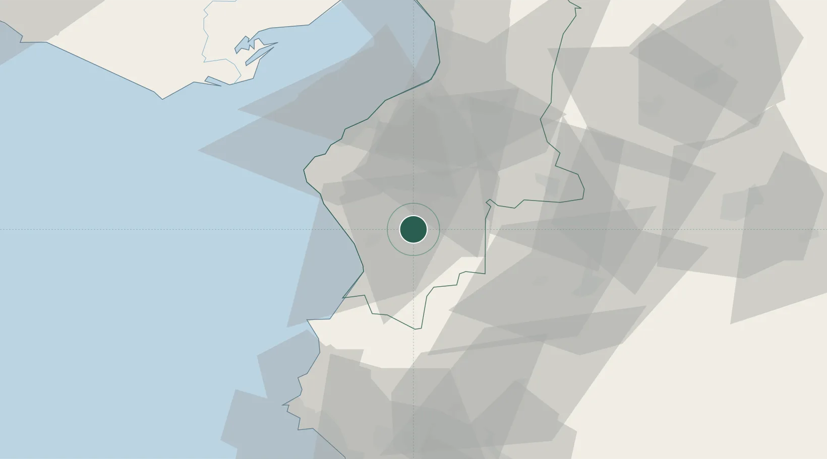
Nearby Logistics Neighbours

Cities
  1. 1Kuyubasi22 km
  2. 2Brummana54 km
  3. 3Iskenderun55 km
  4. 4Sariseki60 km
  5. 5Isdemir65 km
Nearest neighbours — logibook spatial index (haversine) over the source coordinates
Ports
  1. 1Iskenderun52 km
  2. 2Yakacik65 km
  3. 3Al Ladhiqiyah75 km
  4. 4Botas85 km
  5. 5Toros Gubre88 km
Nearest neighbours — logibook spatial index (haversine) over the source coordinates
Airports
  1. 1Hatay Airport29 km
  2. 2Latakia International Airport83 km
  3. 3Abu ad Duhur Air Base98 km
  4. 4Aleppo International Airport98 km
  5. 5İncirlik Air Base115 km
Nearest neighbours — logibook spatial index (haversine) over the source coordinates
Trade Zones
  1. 1Iskenderun Organized Industrial Zone62 km
  2. 2LatakiaLattakia Free Zone71 km
  3. 3Latakia Lattakia Free Port75 km
  4. 4Adana Yumurtalik Free Zone89 km
  5. 5Osmaniye Organized Industrial Zone98 km
Nearest neighbours — logibook spatial index (haversine) over the source coordinates
DatabookThe Record of Consolidated Knowledge
Türkiye beyond logistics?
Browse databook

All Sources

LocationsUN/LOCODE
UN/LOCODE — free
Portsthe NGA World Port Index
Public domain (US gov)
AirportsOurAirports
Public domain
Trade Zonesthe World Bank SEZ database
CC BY 4.0
Trade ZonesOpen Zone Map
CC BY
← Türkiye locations