Large airport · Syria
Aleppo International AirportOSAP
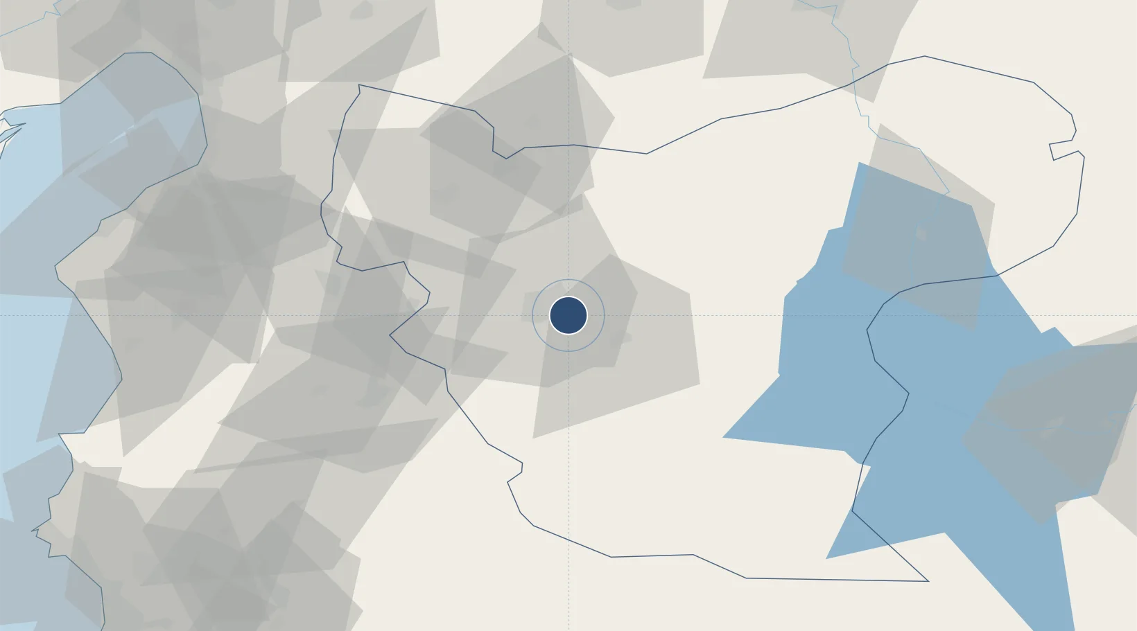
36.1813°, 37.2269°
9,547 ft
Longest runway
1
Runways
1,276 ft
Elevation
Runway & Layout

Radio Frequencies
TWR
119.1 MHz
APP
119.1 MHz
Navaids
ALE VOR-DME Aleppo 114.50 MHz
ALE NDB Aleppo 396 kHz
MER NDB Aleppo 365 kHz
Runways · 1
| Runway | Dimensions | Surface | True heading | Lit |
|---|---|---|---|---|
| 09/27 | 9,547 × 148ft | Asphalt | 097° | ✓ |
Airport Specifications
IATA code
ALP
ICAO code
OSAP
Airport class
Large airport
Scheduled service
Yes
Runway surface
Asphalt
Served city
Aleppo
Location
Nearby Logistics Neighbours
Airports
- 1Abu ad Duhur Air Base51 km
- 2Hatay Airport87 km
- 3Gaziantep Oğuzeli International Airport88 km
- 4Latakia International Airport144 km
- 5Kahramanmaraş Airport153 km
Cities
- 1Kuyubasi90 km
- 2Harbiye98 km
- 3Nizip104 km
- 4Iskenderun105 km
- 5Sariseki105 km
Ports
- 1Iskenderun106 km
- 2Yakacik111 km
- 3Toros Gubre139 km
- 4Botas140 km
- 5Al Ladhiqiyah150 km
Trade Zones
- 1Aleppo Free Zone10 km
- 2Gaziantep Free Zone102 km
- 3Iskenderun Organized Industrial Zone107 km
- 4Adana Yumurtalik Free Zone136 km
- 5Osmaniye Organized Industrial Zone136 km
DatabookThe Record of Consolidated Knowledge
Syria beyond logistics?