Large airport · Türkiye
Gaziantep Oğuzeli International AirportLTAJ
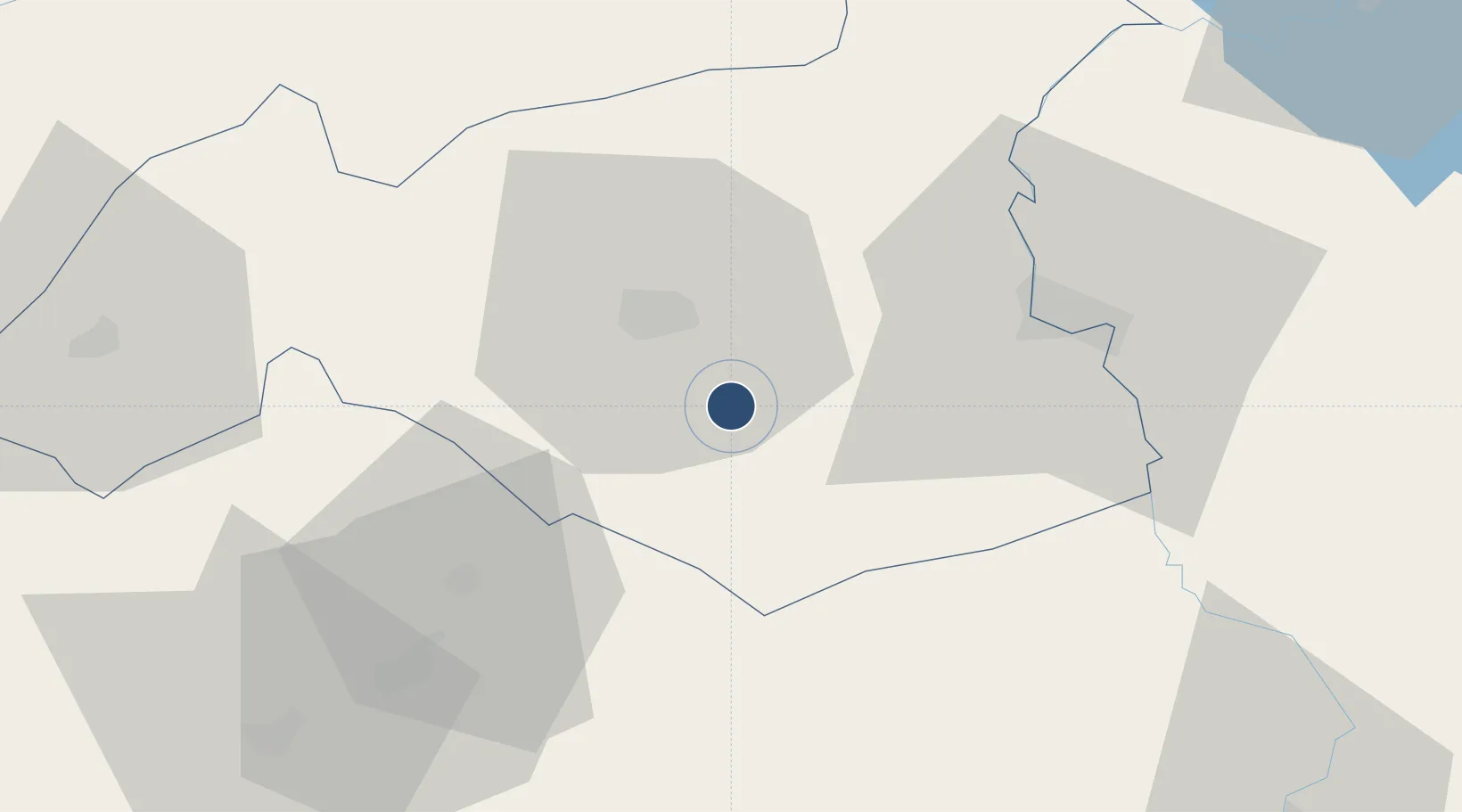
36.9472°, 37.4787°
9,842 ft
Longest runway
1
Runways
2,315 ft
Elevation
Runway & Layout

Radio Frequencies
ATIS
119.275 MHz
TWR
120.1 MHz
APP
120.1 MHz
Navaids
GAZ VOR-DME Gaziantep 116.70 MHz
GAZ NDB Oguzeli 432 kHz
Runways · 1
| Runway | Dimensions | Surface | True heading | Lit |
|---|---|---|---|---|
| 10L/28R | 9,842 × 157ft | Asphalt / concrete | 105° | ✓ |
Airport Specifications
IATA code
GZT
ICAO code
LTAJ
Airport class
Large airport
Scheduled service
Yes
Runway surface
Asphalt / concrete
Served city
Gaziantep
Location
Nearby Logistics Neighbours
Airports
- 1Kahramanmaraş Airport81 km
- 2Aleppo International Airport88 km
- 3Adıyaman Airport124 km
- 4Hatay Airport125 km
- 5Şanlıurfa GAP Airport137 km
Ports
- 1Yakacik118 km
- 2Iskenderun123 km
- 3Toros Gubre134 km
- 4Botas138 km
- 5Al Ladhiqiyah220 km
Trade Zones
- 1Gaziantep Free Zone20 km
- 2Aleppo Free Zone79 km
- 3Iskenderun Organized Industrial Zone116 km
- 4Osmaniye Organized Industrial Zone122 km
- 5Adana Yumurtalik Free Zone130 km
DatabookThe Record of Consolidated Knowledge
Türkiye beyond logistics?