UN/LOCODE hub · Pakistan
PKKHI
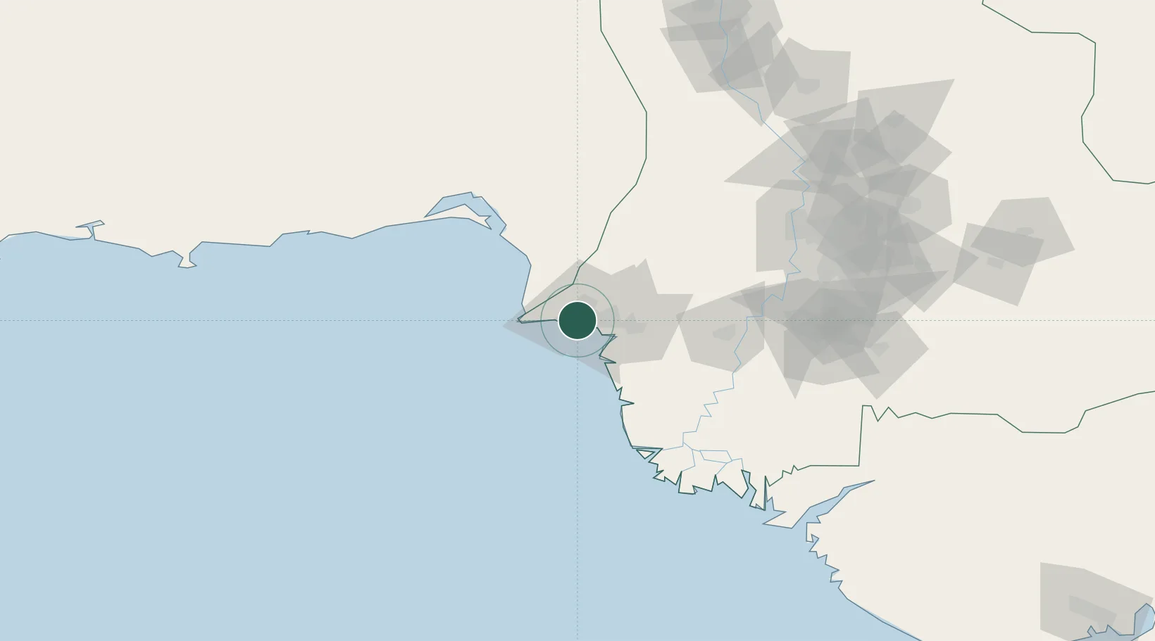
Karachi
24.8470°, 67.0188°
11,624,219
Population
5
Transport functions
3
Container terminals
Transport Functions
Port
Rail
Road
Airport
Postal
Hub Profile
Place type
Regional capital
Region
Sindh
Population
11,624,219
Time zone
Asia/Karachi
Elevation
8 m
Logistics facilities
51
Container terminals
3
Location
Nearby Logistics Neighbours
Cities
- 1Karachi Freight Terminal3 km
- 2Karachi Container Terminal6 km
- 3Kiamari6 km
- 4Muhammad Bin Qasim/Karachi32 km
- 5Keti Bandar90 km
Ports
- 1Muhamamad Bin Qasim35 km
- 2Mandvi326 km
- 3Okha338 km
- 4Mundra361 km
- 5Vadinar Terminal378 km
Airports
- 1Masroor Air Base10 km
- 2Faisal Air Base11 km
- 3Jinnah International Airport16 km
- 4Hyderabad Airport145 km
- 5Sehwan Sharif Airport194 km
Trade Zones
DatabookThe Record of Consolidated Knowledge
Pakistan beyond logistics?