Runway & Layout

Navaids
DB NDB Dalbandin 287 kHz
Airport Specifications
IATA code
DBA
ICAO code
OPDB
Airport class
Small airport
Scheduled service
Yes
Served city
Dalbandin
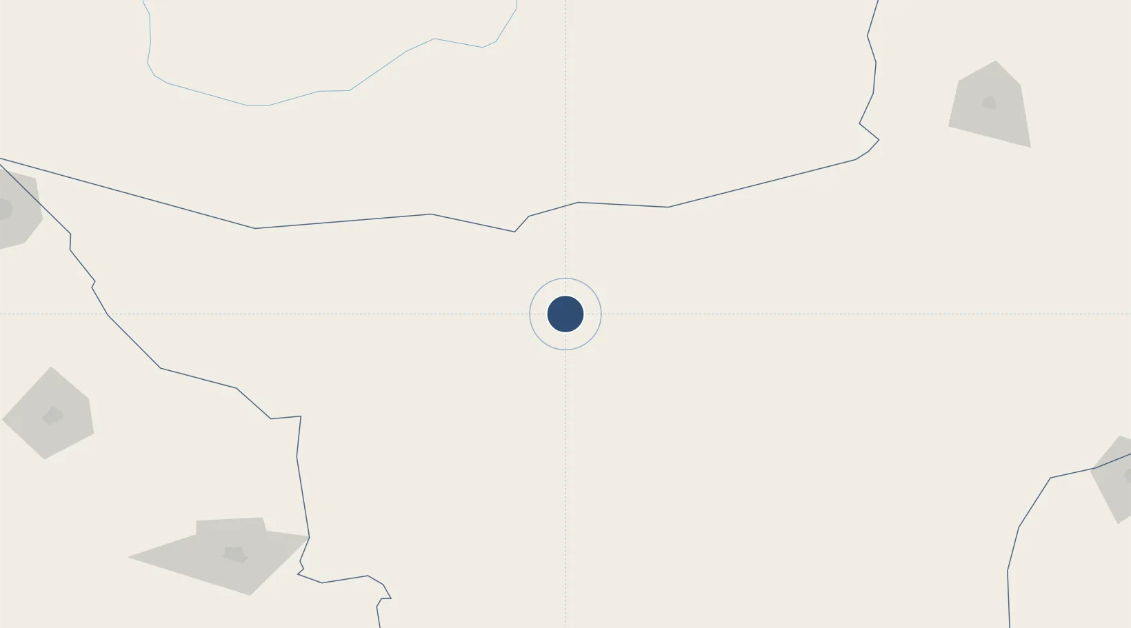
Location
Nearby Logistics Neighbours
Airports
- 1Shamsi Airfield137 km
- 2Panjgur Airport216 km
- 3Khuzdar Airport251 km
- 4Quetta International Airport289 km
- 5Ahmad Shah Baba International Airport324 km
Cities
- 1Chaman300 km
- 2Qalat430 km
- 3Karachi Container Terminal517 km
- 4Karachi Freight Terminal517 km
- 5Karachi518 km
Ports
- 1Gwadar466 km
- 2Karachi523 km
- 3Muhamamad Bin Qasim543 km
- 4Chah Bahar549 km
- 5Mina Qabus822 km
Trade Zones
DatabookThe Record of Consolidated Knowledge
Pakistan beyond logistics?