UN/LOCODE hub · Pakistan
PKKIA

Kiamari

24.8167°, 66.9667°
1
Transport functions

Transport Functions

Port
UN/LOCODE

Hub Profile

Place type
Populated place
GeoNames
Region
Sindh
GeoNames
Time zone
Asia/Karachi
GeoNames
Elevation
8 m
GeoNames

Location

Location of PKKIA
Natural Earth 10m (public domain) · Sindh · PKKIA · 24.82, 66.97GoogleOSMYandex

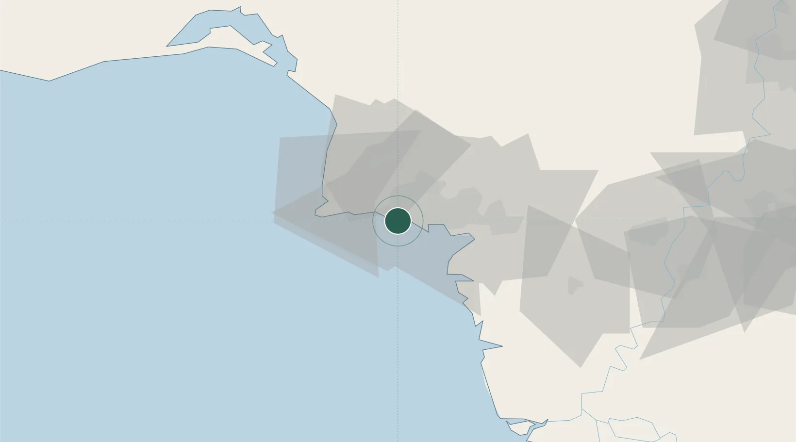
Nearby Logistics Neighbours

Cities
  1. 1Karachi Container Terminal2 km
  2. 2Karachi6 km
  3. 3Karachi Freight Terminal9 km
  4. 4Muhammad Bin Qasim/Karachi37 km
  5. 5Keti Bandar90 km
Nearest neighbours — logibook spatial index (haversine) over the source coordinates
Ports
  1. 1Karachi4 km
  2. 2Muhamamad Bin Qasim39 km
  3. 3Mandvi328 km
  4. 4Okha338 km
  5. 5Mundra363 km
Nearest neighbours — logibook spatial index (haversine) over the source coordinates
Airports
  1. 1Masroor Air Base9 km
  2. 2Faisal Air Base17 km
  3. 3Jinnah International Airport22 km
  4. 4Hyderabad Airport152 km
  5. 5Sehwan Sharif Airport199 km
Nearest neighbours — logibook spatial index (haversine) over the source coordinates
Trade Zones
  1. 1Korangi Creek Industrial Park14 km
  2. 2Karachi Export Processing Zone27 km
  3. 3Karachi Export Processing Zone28 km
  4. 4Hub Special Economic Zone29 km
  5. 5Quaid-E-Azim Apparel Park37 km
Nearest neighbours — logibook spatial index (haversine) over the source coordinates
DatabookThe Record of Consolidated Knowledge
Pakistan beyond logistics?
Browse databook

All Sources

LocationsUN/LOCODE
UN/LOCODE — free
Portsthe NGA World Port Index
Public domain (US gov)
AirportsOurAirports
Public domain
Trade Zonesthe World Bank SEZ database
CC BY 4.0
Trade ZonesOpen Zone Map
CC BY
← Pakistan locations