Medium airport · Pakistan
Shamsi AirfieldOP12
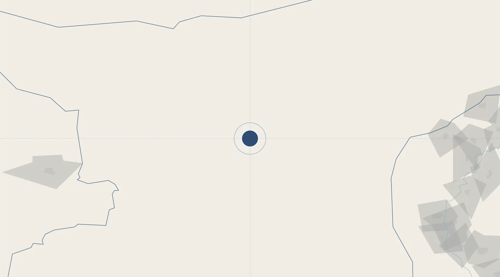
27.8465°, 65.1600°
9,120 ft
Longest runway
1
Runways
2,524 ft
Elevation
Runway & Layout

Runways · 1
| Runway | Dimensions | Surface | True heading | Lit |
|---|---|---|---|---|
| 04/22 | 9,120 × 99ft | Asphalt / concrete | 039° | — |
Airport Specifications
Airport class
Medium airport
Scheduled service
No
Runway surface
Asphalt / concrete
Served city
Washuk
Location
Nearby Logistics Neighbours
Airports
- 1Dalbandin Airport137 km
- 2Panjgur Airport142 km
- 3Khuzdar Airport146 km
- 4Sehwan Sharif Airport296 km
- 5Turbat International Airport296 km
Cities
- 1Chaman363 km
- 2Karachi Freight Terminal380 km
- 3Karachi Container Terminal380 km
- 4Karachi382 km
- 5Kiamari382 km
Ports
- 1Karachi386 km
- 2Muhamamad Bin Qasim406 km
- 3Gwadar415 km
- 4Chah Bahar535 km
- 5Mandvi699 km
Trade Zones
DatabookThe Record of Consolidated Knowledge
Pakistan beyond logistics?