UN/LOCODE hub · Pakistan
PKPZK

Karachi Freight Terminal

24.8667°, 67.0333°
1
Transport functions

Transport Functions

Multimodal
UN/LOCODE

Hub Profile

Region
SD
GeoNames

Location

Location of PKPZK
Natural Earth 10m (public domain) · SD · PKPZK · 24.87, 67.03GoogleOSMYandex

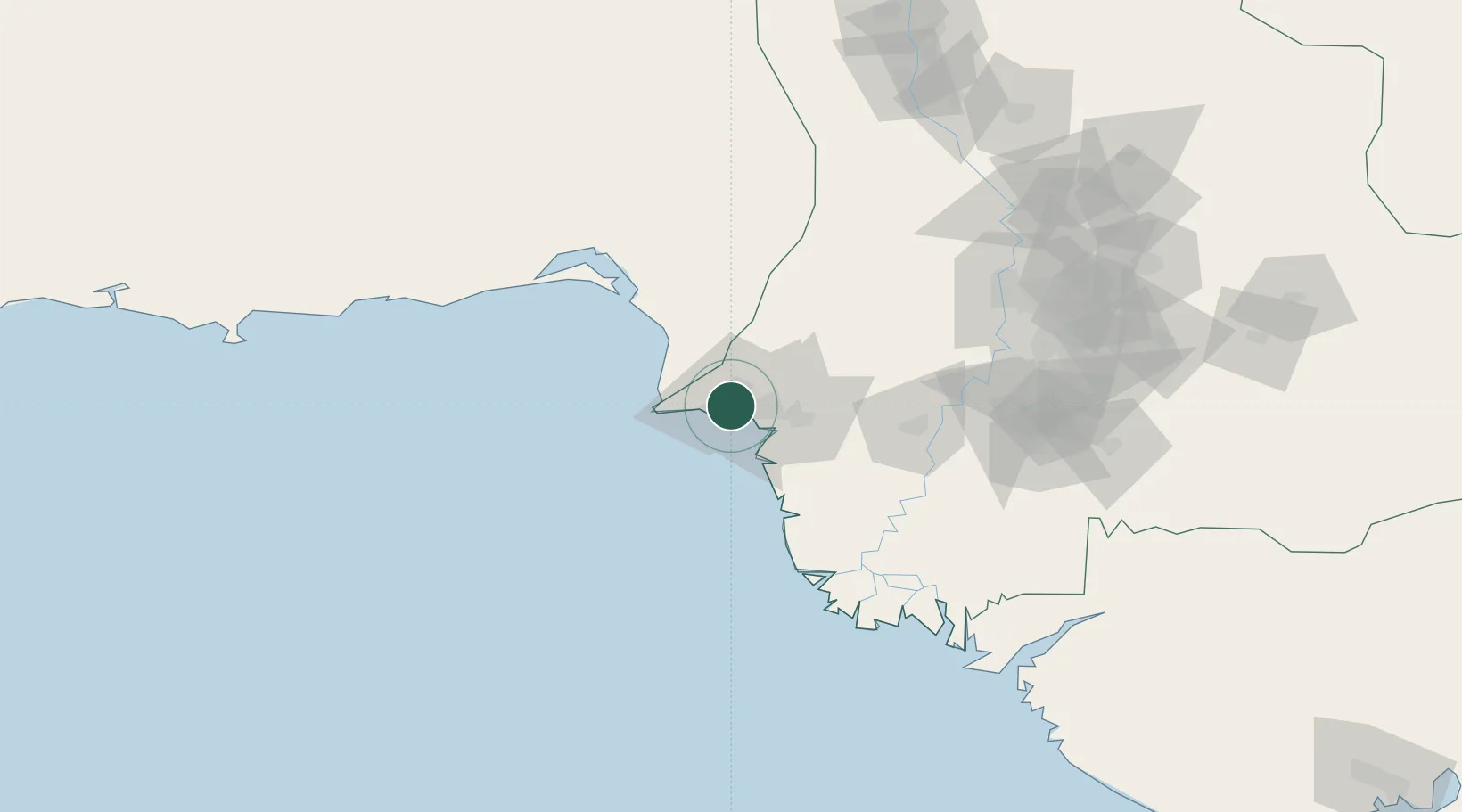
Nearby Logistics Neighbours

Cities
  1. 1Karachi3 km
  2. 2Karachi Container Terminal8 km
  3. 3Kiamari9 km
  4. 4Muhammad Bin Qasim/Karachi31 km
  5. 5Keti Bandar91 km
Nearest neighbours — logibook spatial index (haversine) over the source coordinates
Ports
  1. 1Karachi11 km
  2. 2Muhamamad Bin Qasim34 km
  3. 3Mandvi327 km
  4. 4Okha339 km
  5. 5Mundra361 km
Nearest neighbours — logibook spatial index (haversine) over the source coordinates
Airports
  1. 1Faisal Air Base9 km
  2. 2Masroor Air Base10 km
  3. 3Jinnah International Airport14 km
  4. 4Hyderabad Airport143 km
  5. 5Sehwan Sharif Airport191 km
Nearest neighbours — logibook spatial index (haversine) over the source coordinates
Trade Zones
  1. 1Korangi Creek Industrial Park10 km
  2. 2Karachi Export Processing Zone21 km
  3. 3Karachi Export Processing Zone22 km
  4. 4Quaid-E-Azim Apparel Park30 km
  5. 5Hub Special Economic Zone30 km
Nearest neighbours — logibook spatial index (haversine) over the source coordinates
DatabookThe Record of Consolidated Knowledge
Pakistan beyond logistics?
Browse databook

All Sources

LocationsUN/LOCODE
UN/LOCODE — free
Portsthe NGA World Port Index
Public domain (US gov)
AirportsOurAirports
Public domain
Trade Zonesthe World Bank SEZ database
CC BY 4.0
Trade ZonesOpen Zone Map
CC BY
← Pakistan locations