UN/LOCODE hub · Pakistan
PKKCT

Karachi Container Terminal

24.8333°, 66.9667°
1
Transport functions

Transport Functions

Port
UN/LOCODE

Hub Profile

Region
SD
GeoNames

Location

Location of PKKCT
Natural Earth 10m (public domain) · SD · PKKCT · 24.83, 66.97GoogleOSMYandex

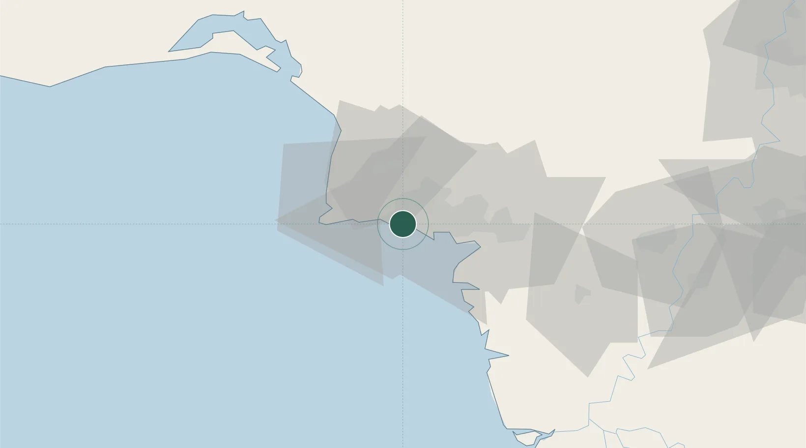
Nearby Logistics Neighbours

Cities
  1. 1Kiamari2 km
  2. 2Karachi6 km
  3. 3Karachi Freight Terminal8 km
  4. 4Muhammad Bin Qasim/Karachi37 km
  5. 5Keti Bandar91 km
Nearest neighbours — logibook spatial index (haversine) over the source coordinates
Ports
  1. 1Karachi6 km
  2. 2Muhamamad Bin Qasim39 km
  3. 3Mandvi329 km
  4. 4Okha340 km
  5. 5Mundra364 km
Nearest neighbours — logibook spatial index (haversine) over the source coordinates
Airports
  1. 1Masroor Air Base7 km
  2. 2Faisal Air Base16 km
  3. 3Jinnah International Airport21 km
  4. 4Hyderabad Airport151 km
  5. 5Sehwan Sharif Airport197 km
Nearest neighbours — logibook spatial index (haversine) over the source coordinates
Trade Zones
  1. 1Korangi Creek Industrial Park14 km
  2. 2Karachi Export Processing Zone27 km
  3. 3Hub Special Economic Zone27 km
  4. 4Karachi Export Processing Zone28 km
  5. 5Quaid-E-Azim Apparel Park37 km
Nearest neighbours — logibook spatial index (haversine) over the source coordinates
DatabookThe Record of Consolidated Knowledge
Pakistan beyond logistics?
Browse databook

All Sources

LocationsUN/LOCODE
UN/LOCODE — free
Portsthe NGA World Port Index
Public domain (US gov)
AirportsOurAirports
Public domain
Trade Zonesthe World Bank SEZ database
CC BY 4.0
Trade ZonesOpen Zone Map
CC BY
← Pakistan locations