Medium airport · United Arab Emirates

Al Minhad Air BaseOMDM
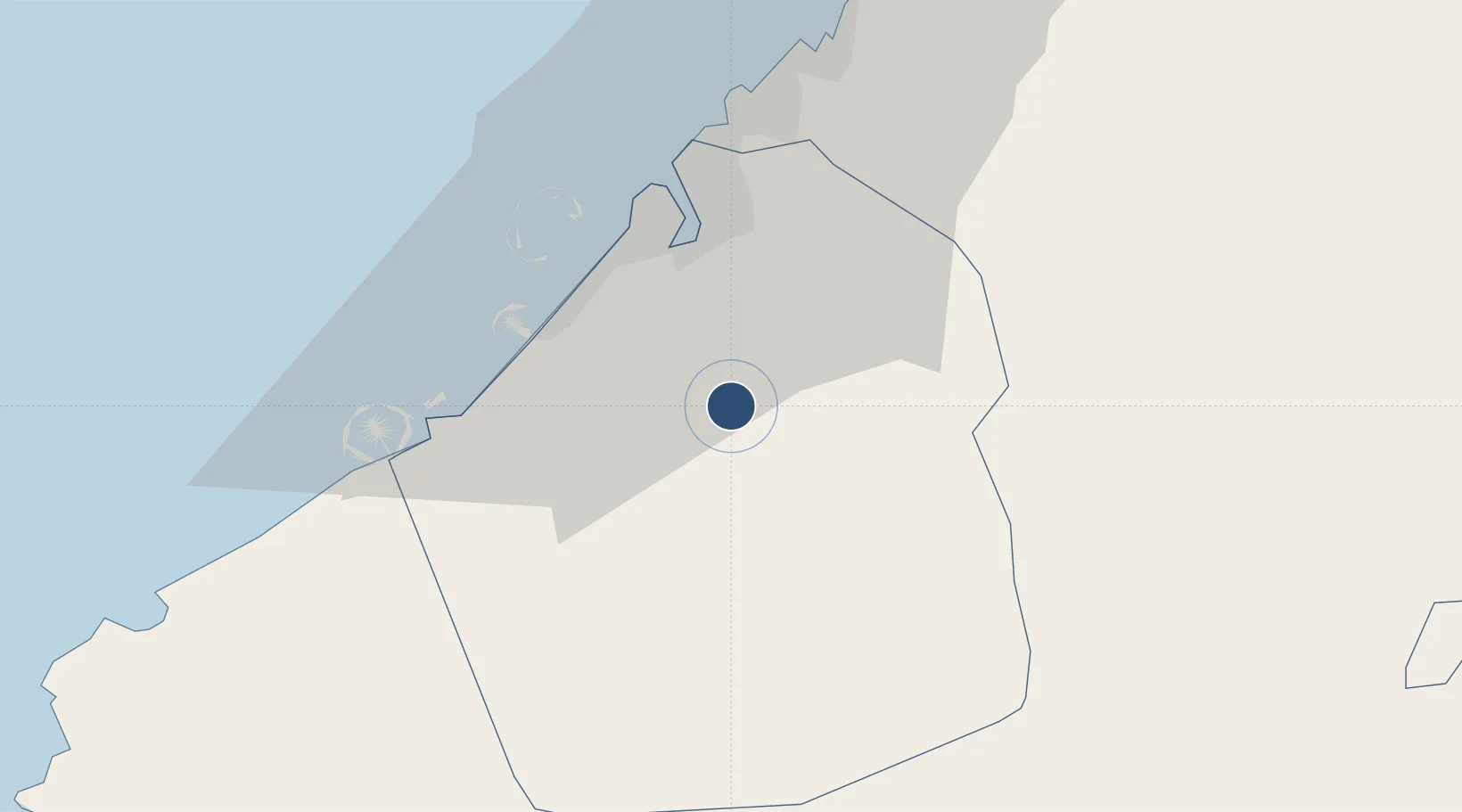
25.0268°, 55.3662°
12,970 ft
Longest runway
1
Runways
165 ft
Elevation

Runway & Layout

Al Minhad Air Base runway & taxiway layout
Runway & taxiway layout — OpenStreetMap (ODbL) / OurAirports

Radio Frequencies

TWR
118.55 MHz
GND
121.925 MHz
APP
122.5 MHz
OurAirports

Runways · 1

RunwayDimensions SurfaceTrue headingLit
09/27 12,970 × 148ft Asphalt 089°
OurAirports

Airport Specifications

IATA code
NHD
OurAirports
ICAO code
OMDM
OurAirports
Airport class
Medium airport
OurAirports
Scheduled service
No
OurAirports
Runway surface
Asphalt
OurAirports
Served city
Dubai
OurAirports

Location

Location of OMDM
Natural Earth 10m (public domain) · Dubay · OMDM · 25.03, 55.37GoogleOSMYandex

Nearby Logistics Neighbours

Airports
  1. 1Dubai International Airport25 km
  2. 2Al Maktoum International Airport25 km
  3. 3Sharjah International Airport37 km
  4. 4Ras Al Khaimah International Airport87 km
  5. 5Al Ain International Airport89 km
Nearest neighbours — logibook spatial index (haversine) over the source coordinates
Cities
  1. 1Dubai18 km
  2. 2Jebel Ali Industrial Area25 km
  3. 3Al Aweer25 km
  4. 4Jebel Ali Free Zone (South)27 km
  5. 5Free Port27 km
Nearest neighbours — logibook spatial index (haversine) over the source coordinates
Ports
  1. 1Dubayy28 km
  2. 2Mina Jabal Ali32 km
  3. 3Ash Shariqah38 km
  4. 4Ajman44 km
  5. 5Al Hamriyah Lpg Terminal50 km
Nearest neighbours — logibook spatial index (haversine) over the source coordinates
Trade Zones
  1. 1Dubai Academic City10 km
  2. 2Dubai Silicon Oasis11 km
  3. 3Dubai Studio City12 km
  4. 4Dubai Outsource Zone12 km
  5. 5Dubai Science Park14 km
Nearest neighbours — logibook spatial index (haversine) over the source coordinates
DatabookThe Record of Consolidated Knowledge
United Arab Emirates beyond logistics?
Browse databook

All Sources

AirportsOurAirports
Public domain
Portsthe NGA World Port Index
Public domain (US gov)
LocationsUN/LOCODE
UN/LOCODE — free
Trade Zonesthe World Bank SEZ database
CC BY 4.0
Trade ZonesOpen Zone Map
CC BY
InfrastructureOpenStreetMap
ODbL 1.0
← United Arab Emirates airports