Specialized Zone · United Arab Emirates

Dubai Logistics City Active
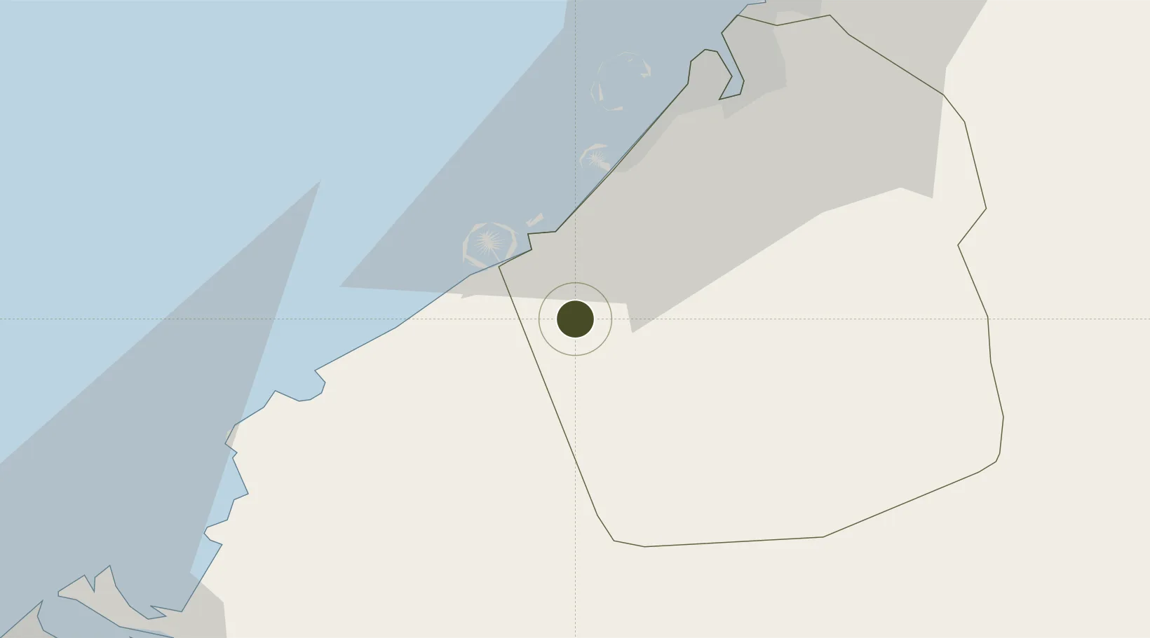
24.8999°, 55.1085°
2,500 ha
Zone area
14.3 km
Nearest port
5.5 km
Nearest airport

Gateway access

Nearest neighbours — logibook spatial index (haversine) over the source coordinates

Zone profile

Zone type
Specialized Zone
Open Zone Map
Specialization
Manufacturing
Open Zone Map
Region
Dubay
Open Zone Map
Status
Active
Open Zone Map
Management
Public
Open Zone Map
Operator
Dubai Logistics City Authority
Open Zone Map
Legal framework
Federal Law No. 8 of 2004 Concerning Financial Free Zones
Open Zone Map

Location

Location of ozm-4665
Natural Earth 10m (public domain) · Dubay · ozm-4665 · 24.90, 55.11GoogleOSMYandex

Nearby Logistics Neighbours

Ports
  1. 1Mina Jabal Ali14 km
  2. 2Dubayy45 km
  3. 3Ash Shariqah59 km
  4. 4Ajman66 km
  5. 5Al Hamriyah Lpg Terminal74 km
Nearest neighbours — logibook spatial index (haversine) over the source coordinates
Airports
  1. 1Al Maktoum International Airport6 km
  2. 2Al Minhad Air Base30 km
  3. 3Dubai International Airport47 km
  4. 4Sharjah International Airport63 km
  5. 5Zayed International Airport69 km
Nearest neighbours — logibook spatial index (haversine) over the source coordinates
Cities
  1. 1Jebel Ali Free Zone (South)6 km
  2. 2Jebel Ali10 km
  3. 3Jebel Ali Industrial Area11 km
  4. 4Jebel Ali Free Zone13 km
  5. 5Dubai20 km
Nearest neighbours — logibook spatial index (haversine) over the source coordinates
Trade Zones
  1. 1Dubai South2 km
  2. 2Dubai International Humanitarian City4 km
  3. 3Dubai Techno Park6 km
  4. 4Jebel Ali Free Zone12 km
  5. 5Dubai Production City16 km
Nearest neighbours — logibook spatial index (haversine) over the source coordinates
DatabookThe Record of Consolidated Knowledge
United Arab Emirates beyond logistics?
Browse databook

All Sources

Trade ZonesOpen Zone Map
CC BY
Portsthe NGA World Port Index
Public domain (US gov)
AirportsOurAirports
Public domain
LocationsUN/LOCODE
UN/LOCODE — free
← United Arab Emirates trade zones