UN/LOCODE hub · United Arab Emirates
AEDXB
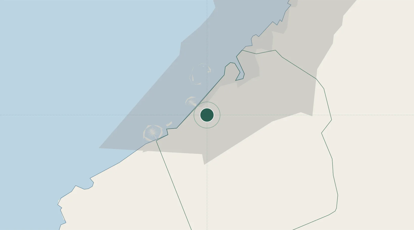
Dubai
25.0660°, 55.1949°
3,790,000
Population
4
Transport functions
Transport Functions
Port
Road
Airport
Postal
Hub Profile
Place type
Regional capital
Region
Dubai
Population
3,790,000
Time zone
Asia/Dubai
Elevation
24 m
Logistics facilities
5
Location
Nearby Logistics Neighbours
Cities
- 1Jebel Ali Industrial Area11 km
- 2Jebel Ali Free Zone (South)15 km
- 3Jebel Ali16 km
- 4Jebel Ali Free Zone16 km
- 5Free Port21 km
Ports
- 1Mina Jabal Ali16 km
- 2Ash Shariqah38 km
- 3Ajman46 km
- 4Al Hamriyah Lpg Terminal53 km
- 5Umm Al Qaywayn70 km
Airports
Trade Zones
- 1Dubai Production City4 km
- 2Dubai Internet City (DIC)5 km
- 3Dubai Science Park5 km
- 4Dubai Media City5 km
- 5Dubai Knowledge Park5 km
DatabookThe Record of Consolidated Knowledge
United Arab Emirates beyond logistics?