Seaport · United Arab Emirates
Khawr FakkanAEKLF
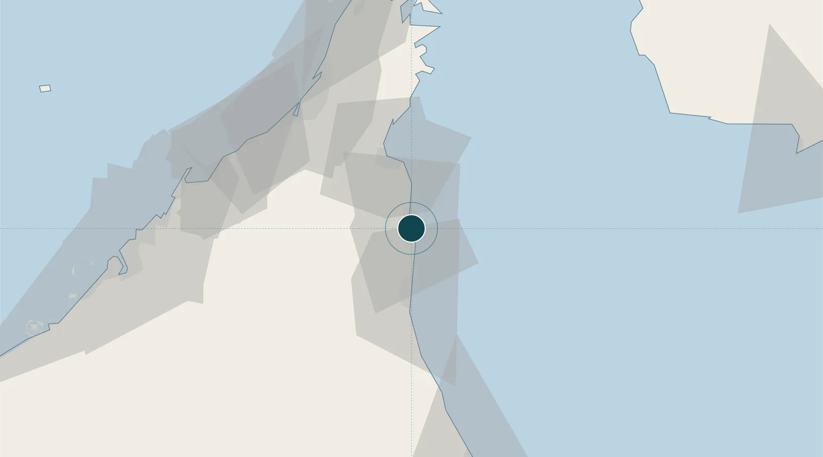
25.3628°, 56.3689°
16.0 m
Channel depth
1
Container terminals
58.0
Port liner connectivity
Channel & Berth Profile
Pilotage, Tugs & Services
Pilotage compulsoryYES
Pilotage availableYES
Pilotage advisableYES
Tug assistanceYES
Salvage tugsYES
Shore powerYES
Potable waterYES
Diesel bunkersYES
MedicalYES
Garbage disposalYES
Facilities & Capabilities
ContainerYES
Ro-RoNO
Liquid bulk—
Dry bulk—
Oil terminalNO
Break bulkNO
Dry dock—
RepairsNO
BunkeringYES
Rail link—
Dangerous cargo—
ISPS security—
Harbour Specifications
Harbour size
Medium
Harbour type
Coastal (Natural)
Shelter
Fair
Water body
Gulf of Oman; Indian Ocean
Tidal range
2 m
Overhead limit
No
Pilotage
Yes
Liner Connectivity
58
PLSCI
Port Liner Shipping Connectivity Index for Khawr Fakkan, as published by UNCTAD for the latest available quarter. Higher values indicate stronger scheduled liner-shipping integration.
Shown relative to the highest per-port PLSCI in the dataset (1,657.9).
Location
Container Terminals · 1
KHORFAKKAN CONTAINER TERMINAL
KCTKLF
Nearby Logistics Neighbours
Ports
- 1Al Jazeera Port71 km
- 2Mina Saqr76 km
- 3Hulaylah Oil Terminal82 km
- 4Umm Al Qaywayn83 km
- 5Al Hamriyah Lpg Terminal90 km
Cities
- 1Al Fujayrah20 km
- 2Dibba30 km
- 3Vopak Horizion Terminal30 km
- 4Kalba33 km
- 5Rak Khor Port66 km
Airports
Trade Zones
- 1Fujairah Free Zone22 km
- 2Fujairah Creative City27 km
- 3RAKEZ Al Ghail Industrial Zone40 km
- 4RAKEZ Academic Zone63 km
- 5RAKEZ Al Hamra Industrial Zone68 km
DatabookThe Record of Consolidated Knowledge
United Arab Emirates beyond logistics?