UN/LOCODE hub · Oman
OMMNH

Al Mudayq

23.8167°, 57.5167°
3
Transport functions

Transport Functions

Port
Road
Airport
UN/LOCODE

Hub Profile

Region
BS
GeoNames

Location

Location of OMMNH
Natural Earth 10m (public domain) · BS · OMMNH · 23.82, 57.52GoogleOSMYandex

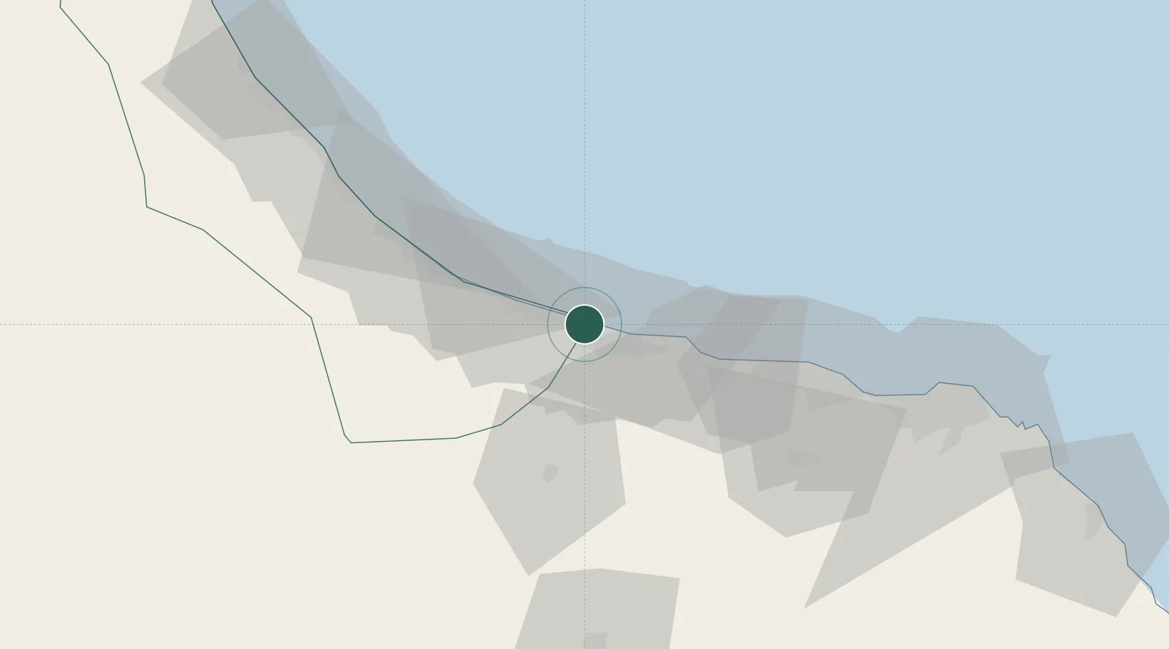
Nearby Logistics Neighbours

Cities
  1. 1Al-Suwaiq9 km
  2. 2Khazaen41 km
  3. 3Muscat49 km
  4. 4Fahal101 km
  5. 5Mina' al Fahl104 km
Nearest neighbours — logibook spatial index (haversine) over the source coordinates
Ports
  1. 1Mina Al Fahl104 km
  2. 2Mina Qabus111 km
  3. 3Port Of Sohar119 km
  4. 4Jask204 km
  5. 5Khawr Fakkan207 km
Nearest neighbours — logibook spatial index (haversine) over the source coordinates
Airports
  1. 1Mussanah Airport20 km
  2. 2Muscat International Airport82 km
  3. 3Suhar International Airport110 km
  4. 4Fujairah International Airport187 km
  5. 5Al Ain International Airport200 km
Nearest neighbours — logibook spatial index (haversine) over the source coordinates
Trade Zones
  1. 1Khazaen Economic City40 km
  2. 2Knowledge Oasis Muscat72 km
  3. 3Sohar Free Zone121 km
  4. 4Fujairah Creative City189 km
  5. 5Fujairah Free Zone191 km
Nearest neighbours — logibook spatial index (haversine) over the source coordinates
DatabookThe Record of Consolidated Knowledge
Oman beyond logistics?
Browse databook

All Sources

LocationsUN/LOCODE
UN/LOCODE — free
Portsthe NGA World Port Index
Public domain (US gov)
AirportsOurAirports
Public domain
Trade Zonesthe World Bank SEZ database
CC BY 4.0
Trade ZonesOpen Zone Map
CC BY
← Oman locations