Medium airport · Iran

Shahrekord AirportOIFS
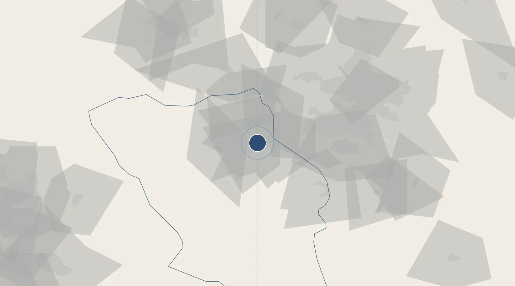
32.2972°, 50.8422°
10,819 ft
Longest runway
1
Runways
6,723 ft
Elevation

Runway & Layout

Shahrekord Airport runway & taxiway layout
Runway & taxiway layout — OpenStreetMap (ODbL) / OurAirports

Radio Frequencies

AFIS
118.5 MHz
INFO
OurAirports

Navaids

SKD VOR-DME Shahre Kord 117.30 MHz
SKD NDB Shahre Kord 376 kHz
OurAirports

Runways · 1

RunwayDimensions SurfaceTrue headingLit
14/32 10,819 × 148ft Asphalt 147°
OurAirports

Airport Specifications

IATA code
CQD
OurAirports
ICAO code
OIFS
OurAirports
Airport class
Medium airport
OurAirports
Scheduled service
No
OurAirports
Runway surface
Asphalt
OurAirports
Served city
Shahrekord
OurAirports

Location

Location of OIFS
Natural Earth 10m (public domain) · Chahar Mahall and Bakhtiari · OIFS · 32.30, 50.84GoogleOSMYandex

Nearby Logistics Neighbours

Airports
  1. 1Badr Air Base88 km
  2. 2Isfahan Shahid Beheshti International Airport110 km
  3. 3Shahid Asiyaee Airport152 km
  4. 4Yasuj Airport189 km
  5. 5Kashan Airport190 km
Nearest neighbours — logibook spatial index (haversine) over the source coordinates
Cities
  1. 1Ganaveh205 km
  2. 2Baneh239 km
  3. 3Bandar Mashur250 km
  4. 4Bandar-e Måh Shahr253 km
  5. 5Malekan259 km
Nearest neighbours — logibook spatial index (haversine) over the source coordinates
Ports
  1. 1Bandar-E Mahshahr257 km
  2. 2Bandar Khomeyni266 km
  3. 3Khorramshahr327 km
  4. 4Abadan327 km
  5. 5Khawr Al Amaya341 km
Nearest neighbours — logibook spatial index (haversine) over the source coordinates
Trade Zones
  1. 1Shahrekord ShahrKord Special Economic Zone7 km
  2. 2Kashan Special Economic Zone193 km
  3. 3Salafchegan Special Economic Zone242 km
  4. 4Petrochemical Special Economic Zone262 km
  5. 5Imam Khomeini Port266 km
Nearest neighbours — logibook spatial index (haversine) over the source coordinates
DatabookThe Record of Consolidated Knowledge
Iran beyond logistics?
Browse databook

All Sources

AirportsOurAirports
Public domain
Portsthe NGA World Port Index
Public domain (US gov)
LocationsUN/LOCODE
UN/LOCODE — free
Trade Zonesthe World Bank SEZ database
CC BY 4.0
Trade ZonesOpen Zone Map
CC BY
InfrastructureOpenStreetMap
ODbL 1.0
← Iran airports