Large airport · Saudi Arabia
Taif International AirportOETF
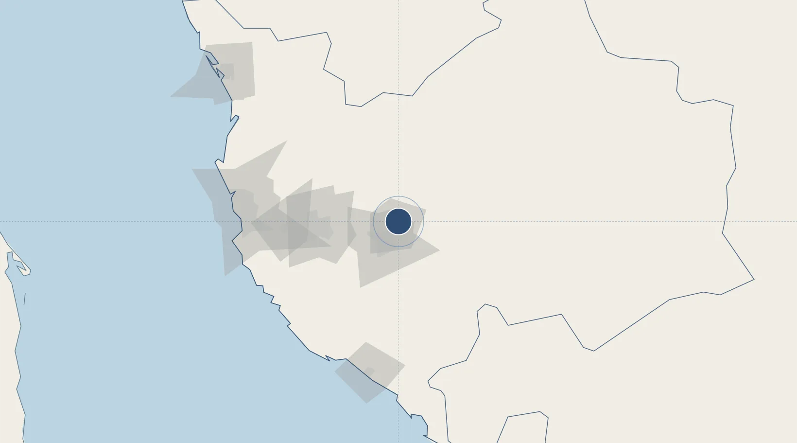
21.4847°, 40.5441°
12,254 ft
Longest runway
2
Runways
4,848 ft
Elevation
Runway & Layout

Radio Frequencies
ATIS
112.7 MHz
TWR
118.7 MHz
GND
121.9 MHz
APP
119.7 MHz
A/G
131.5 MHz
SAUDIA RDO
POST
730 MHz
HOTEL 4
Radar
123.7 MHz
Taif Radar
Navaids
TIF VORTAC Taif 112.70 MHz
Runways · 2
| Runway | Dimensions | Surface | True heading | Lit |
|---|---|---|---|---|
| 07/25 | 12,254 × 148ft | Asphalt | 075° | ✓ |
| 17/35 | 10,991 × 148ft | Asphalt | 172° | ✓ |
Airport Specifications
IATA code
TIF
ICAO code
OETF
Airport class
Large airport
Scheduled service
Yes
Runway surface
Asphalt
Served city
Taif
Location
Nearby Logistics Neighbours
Airports
- 1Mecca East Airport57 km
- 2King Faisal Naval Base143 km
- 3King Abdulaziz International Airport145 km
- 4King Saud Bin Abdulaziz (Al Baha) Airport174 km
- 5Bisha Airport273 km
Cities
- 1Shuaibah139 km
- 2Jeddah142 km
- 3Tusdeer Free Zone144 km
- 4Jeddah Yachts Club Port151 km
- 5King Abdullah City184 km
Ports
- 1Jiddah141 km
- 2Rabigh212 km
- 3Yanbu386 km
- 4Port Sudan403 km
- 5Sawakin Harbor423 km
Trade Zones
- 1Makkah Industrial City78 km
- 2Jeddah Industrial City (Third)133 km
- 3Jeddah Modon Oasis138 km
- 4Jeddah Industrial City (First)139 km
- 5Jeddah Industrial City (Second)141 km
DatabookThe Record of Consolidated Knowledge
Saudi Arabia beyond logistics?