Diversified Zone · Afghanistan

Balkh Special Economic Zone Under Development
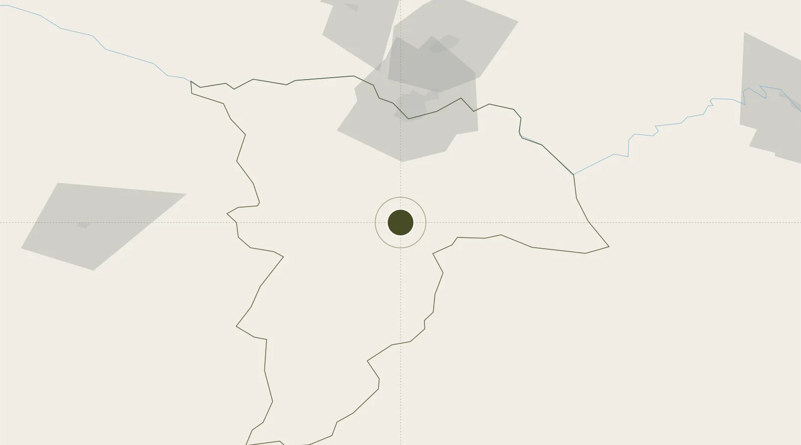
36.7047°, 67.2228°
1,325.8 km
Nearest port
1.1 km
Nearest airport

Gateway access

Nearest neighbours — logibook spatial index (haversine) over the source coordinates

Zone profile

Zone type
Diversified Zone
Open Zone Map
Region
Balkh
Open Zone Map
Status
Under Development
Open Zone Map
Management
Public
Open Zone Map
Operator
Afghanistan Airfield Economic Development Commission (AAEDC)
Open Zone Map
Legal framework
Presidential Decree # July 2015, Afghanistan Customs Law 2005.
Open Zone Map

Location

Location of ozm-2
Natural Earth 10m (public domain) · Balkh · ozm-2 · 36.70, 67.22GoogleOSMYandex

Nearby Logistics Neighbours

Ports
  1. 1Karachi1326 km
  2. 2Muhamamad Bin Qasim1328 km
  3. 3Gwadar1369 km
  4. 4Chah Bahar1418 km
  5. 5Jazireh-Ye Hormoz1473 km
Nearest neighbours — logibook spatial index (haversine) over the source coordinates
Airports
  1. 1Mazar-i-Sharif International Airport1 km
  2. 2Termez Airport65 km
  3. 3Kunduz Airport151 km
  4. 4Qurghonteppa International Airport194 km
  5. 5Farkhor Air Base210 km
Nearest neighbours — logibook spatial index (haversine) over the source coordinates
Cities
  1. 1Dehdadi22 km
  2. 2Termez57 km
  3. 3Shaartuz101 km
  4. 4Qurghonteppa186 km
  5. 5Kerkichi217 km
Nearest neighbours — logibook spatial index (haversine) over the source coordinates
Trade Zones
  1. 1Mazar-i-Sharif Mazar Special Economic Zone1 km
  2. 2Termez Termiz Free Economic Zone56 km
  3. 3Boysun-pharm Free Economic Zone60 km
  4. 4Kunduz Special Economic Zone150 km
  5. 5Pyanj Free Economic Zone177 km
Nearest neighbours — logibook spatial index (haversine) over the source coordinates
DatabookThe Record of Consolidated Knowledge
Afghanistan beyond logistics?
Browse databook

All Sources

Trade ZonesOpen Zone Map
CC BY
Portsthe NGA World Port Index
Public domain (US gov)
AirportsOurAirports
Public domain
LocationsUN/LOCODE
UN/LOCODE — free
← Afghanistan trade zones