Small airport · Afghanistan
Fayzabad AirportOAFZ
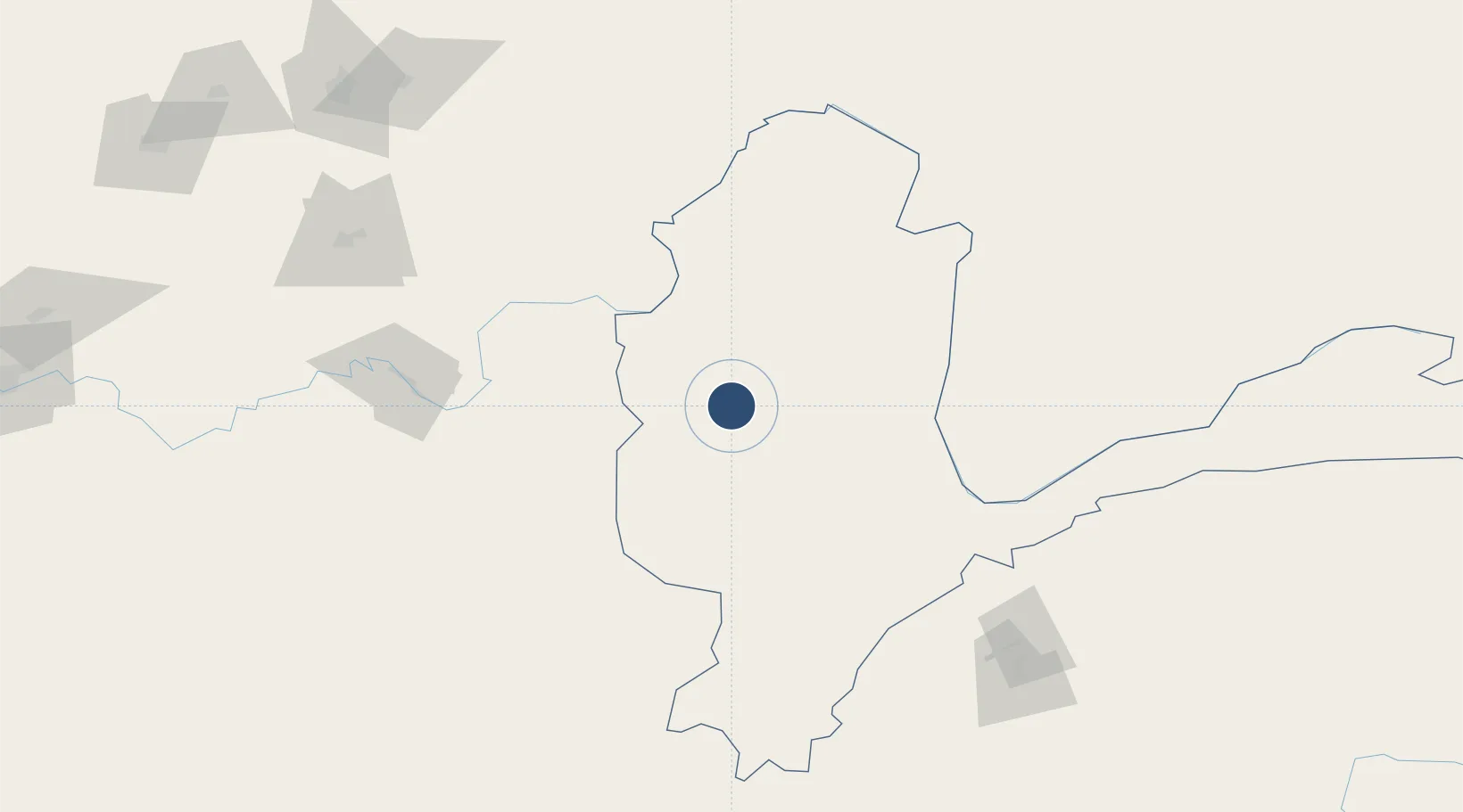
37.1221°, 70.5201°
6,049 ft
Longest runway
1
Runways
3,872 ft
Elevation
Runway & Layout

Runways · 1
| Runway | Dimensions | Surface | True heading | Lit |
|---|---|---|---|---|
| 18/36 | 6,049 × —ft | PSP | — | — |
Airport Specifications
IATA code
FBD
ICAO code
OAFZ
Airport class
Small airport
Scheduled service
Yes
Runway surface
PSP
Served city
Fayzabad
Location
Nearby Logistics Neighbours
Airports
- 1Qara Tepa Heliport102 km
- 2Farkhor Air Base108 km
- 3Kulob Airport115 km
- 4Khovaling Airport146 km
- 5Kunduz Airport152 km
Cities
- 1Qurghonteppa174 km
- 2Shaartuz212 km
- 3Qasim250 km
- 4Torkham279 km
- 5Termez289 km
Ports
- 1Muhamamad Bin Qasim1407 km
- 2Karachi1413 km
- 3Gwadar1544 km
- 4Kandla1567 km
- 5Navlakhi1575 km
Trade Zones
- 1Ishkoshim Free Economic Zone106 km
- 2Kulob Free Economic Zone114 km
- 3Pyanj Free Economic Zone126 km
- 4Kunduz Special Economic Zone153 km
- 5Dangara Free Economic Zone155 km
DatabookThe Record of Consolidated Knowledge
Afghanistan beyond logistics?