Large airport · Afghanistan

Herat - Khwaja Abdullah Ansari International AirportOAHR
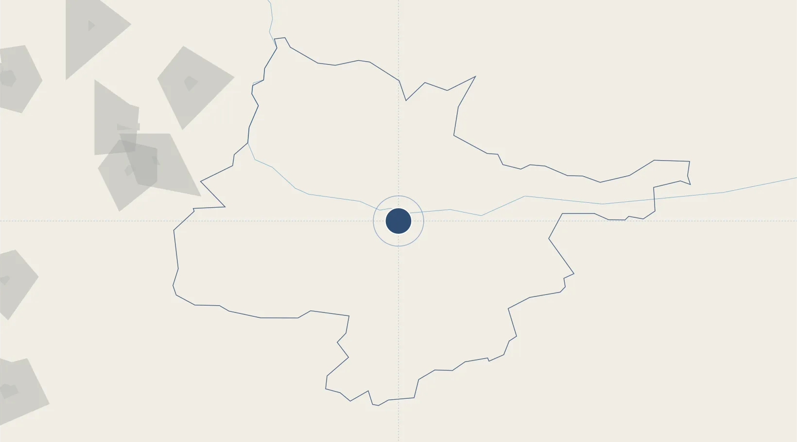
34.2100°, 62.2283°
9,888 ft
Longest runway
1
Runways
3,206 ft
Elevation

Runway & Layout

Herat - Khwaja Abdullah Ansari International Airport runway & taxiway layout
Runway & taxiway layout — OpenStreetMap (ODbL) / OurAirports

Radio Frequencies

TWR
118.1 MHz
OurAirports

Runways · 1

RunwayDimensions SurfaceTrue headingLit
18/36 9,888 × 150ft Asphalt 187°
OurAirports

Airport Specifications

IATA code
HEA
OurAirports
ICAO code
OAHR
OurAirports
Airport class
Large airport
OurAirports
Scheduled service
Yes
OurAirports
Runway surface
Asphalt
OurAirports
Served city
Guzara
OurAirports

Location

Location of OAHR
Natural Earth 10m (public domain) · Hirat · OAHR · 34.21, 62.23GoogleOSMYandex

Nearby Logistics Neighbours

Airports
  1. 1Sarakhs Airport276 km
  2. 2Maymana Zahiraddin Faryabi Airport300 km
  3. 3Birjand International Airport310 km
  4. 4Mashhad International Airport325 km
  5. 5Zabol Airport352 km
Nearest neighbours — logibook spatial index (haversine) over the source coordinates
Cities
  1. 1Yolöten344 km
  2. 2Murgap365 km
  3. 3Bayramaly379 km
  4. 4Tejen385 km
  5. 5Kaka422 km
Nearest neighbours — logibook spatial index (haversine) over the source coordinates
Ports
  1. 1Jazireh-Ye Hormoz964 km
  2. 2Bandar Abbas974 km
  3. 3Bandar-E Shahid Rejaie986 km
  4. 4Chah Bahar1007 km
  5. 5Gwadar1009 km
Nearest neighbours — logibook spatial index (haversine) over the source coordinates
Trade Zones
  1. 1Herat Special Economic Zone Special Economic Zone0 km
  2. 2Shīnḍanḍ Special Economic Zone92 km
  3. 3Toraghundi Special Economic Zone116 km
  4. 4Dogharoon Special Economic Zone126 km
  5. 5Sarakhs Special Economic Zone277 km
Nearest neighbours — logibook spatial index (haversine) over the source coordinates
DatabookThe Record of Consolidated Knowledge
Afghanistan beyond logistics?
Browse databook

All Sources

AirportsOurAirports
Public domain
Portsthe NGA World Port Index
Public domain (US gov)
LocationsUN/LOCODE
UN/LOCODE — free
Trade Zonesthe World Bank SEZ database
CC BY 4.0
Trade ZonesOpen Zone Map
CC BY
InfrastructureOpenStreetMap
ODbL 1.0
← Afghanistan airports