Large airport · Iran

Birjand International AirportOIMB
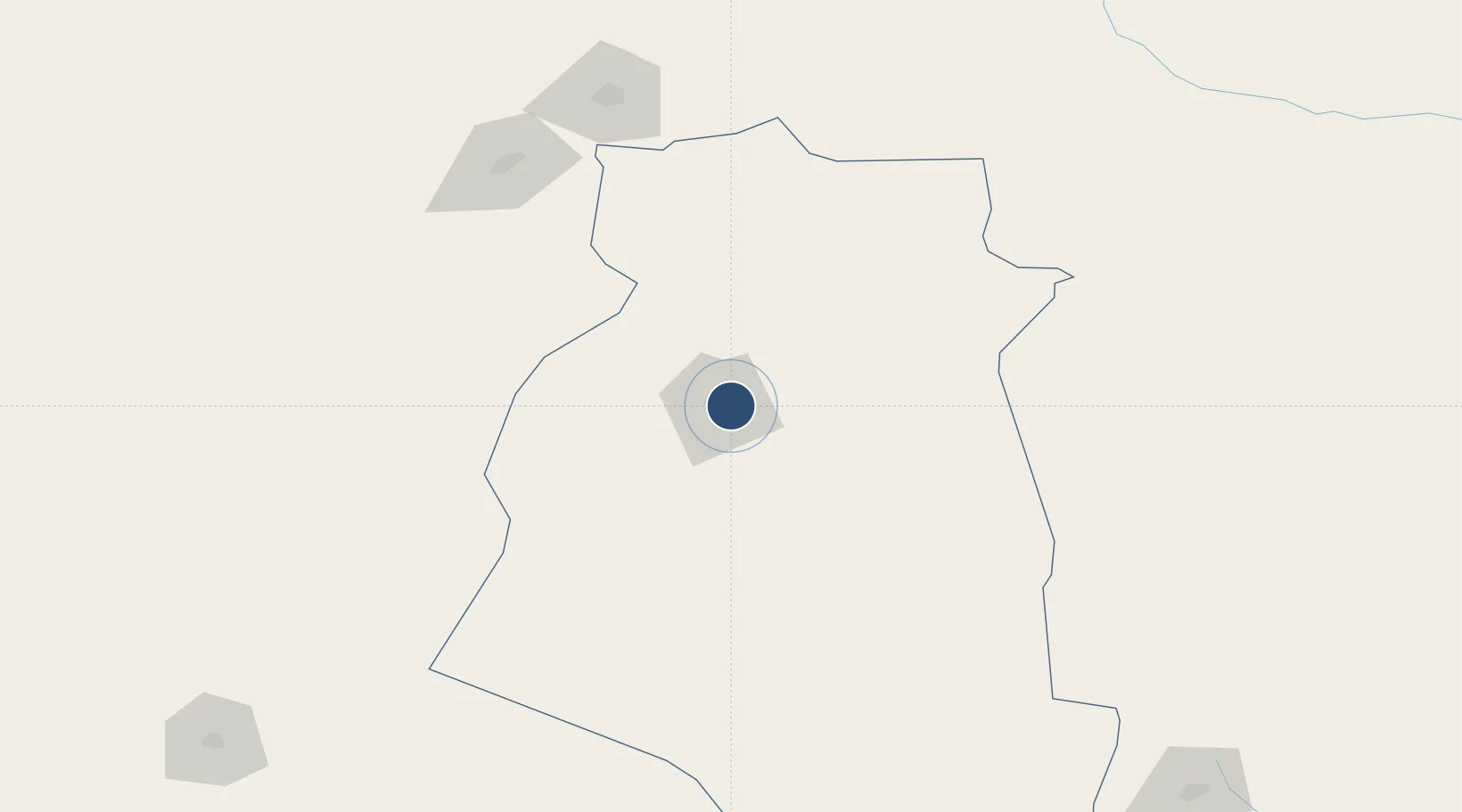
32.8965°, 59.2813°
9,521 ft
Longest runway
2
Runways
4,952 ft
Elevation

Runway & Layout

Birjand International Airport runway & taxiway layout
Runway & taxiway layout — OpenStreetMap (ODbL) / OurAirports

Radio Frequencies

AFIS
127.1 MHz
INFO
OurAirports

Navaids

BJD VOR-DME Birjand 113.50 MHz
BJD NDB Birjand 405 kHz
OurAirports

Runways · 2

RunwayDimensions SurfaceTrue headingLit
10/28 9,521 × 148ft Asphalt 099°
08/26 7,093 × 82ft Asphalt 079°
OurAirports

Airport Specifications

IATA code
XBJ
OurAirports
ICAO code
OIMB
OurAirports
Airport class
Large airport
OurAirports
Scheduled service
Yes
OurAirports
Runway surface
Asphalt
OurAirports
Served city
Birjand
OurAirports

Location

Location of OIMB
Natural Earth 10m (public domain) · South Khorasan · OIMB · 32.90, 59.28GoogleOSMYandex

Nearby Logistics Neighbours

Airports
  1. 1Tabas Airport238 km
  2. 2Zabol Airport292 km
  3. 3Herat - Khwaja Abdullah Ansari International Airport310 km
  4. 4Ayatollah Hashemi Rafsanjani International Airport366 km
  5. 5Mashhad International Airport373 km
Nearest neighbours — logibook spatial index (haversine) over the source coordinates
Cities
  1. 1Kaka496 km
  2. 2Tejen509 km
  3. 3Altyn Asyr561 km
  4. 4Yolöten564 km
  5. 5Murgap565 km
Nearest neighbours — logibook spatial index (haversine) over the source coordinates
Ports
  1. 1Jazireh-Ye Hormoz700 km
  2. 2Bandar Abbas704 km
  3. 3Bandar-E Shahid Rejaie715 km
  4. 4Khawr Khasab799 km
  5. 5Jask821 km
Nearest neighbours — logibook spatial index (haversine) over the source coordinates
Trade Zones
  1. 1Birjand Special Economic Zone11 km
  2. 2Dogharoon Special Economic Zone257 km
  3. 3Shīnḍanḍ Special Economic Zone281 km
  4. 4Herat Special Economic Zone Special Economic Zone310 km
  5. 5Zaranj Special Economic Zone324 km
Nearest neighbours — logibook spatial index (haversine) over the source coordinates
DatabookThe Record of Consolidated Knowledge
Iran beyond logistics?
Browse databook

All Sources

AirportsOurAirports
Public domain
Portsthe NGA World Port Index
Public domain (US gov)
LocationsUN/LOCODE
UN/LOCODE — free
Trade Zonesthe World Bank SEZ database
CC BY 4.0
Trade ZonesOpen Zone Map
CC BY
InfrastructureOpenStreetMap
ODbL 1.0
← Iran airports