Diversified Zone · Afghanistan

Shīnḍanḍ Special Economic Zone Under Development
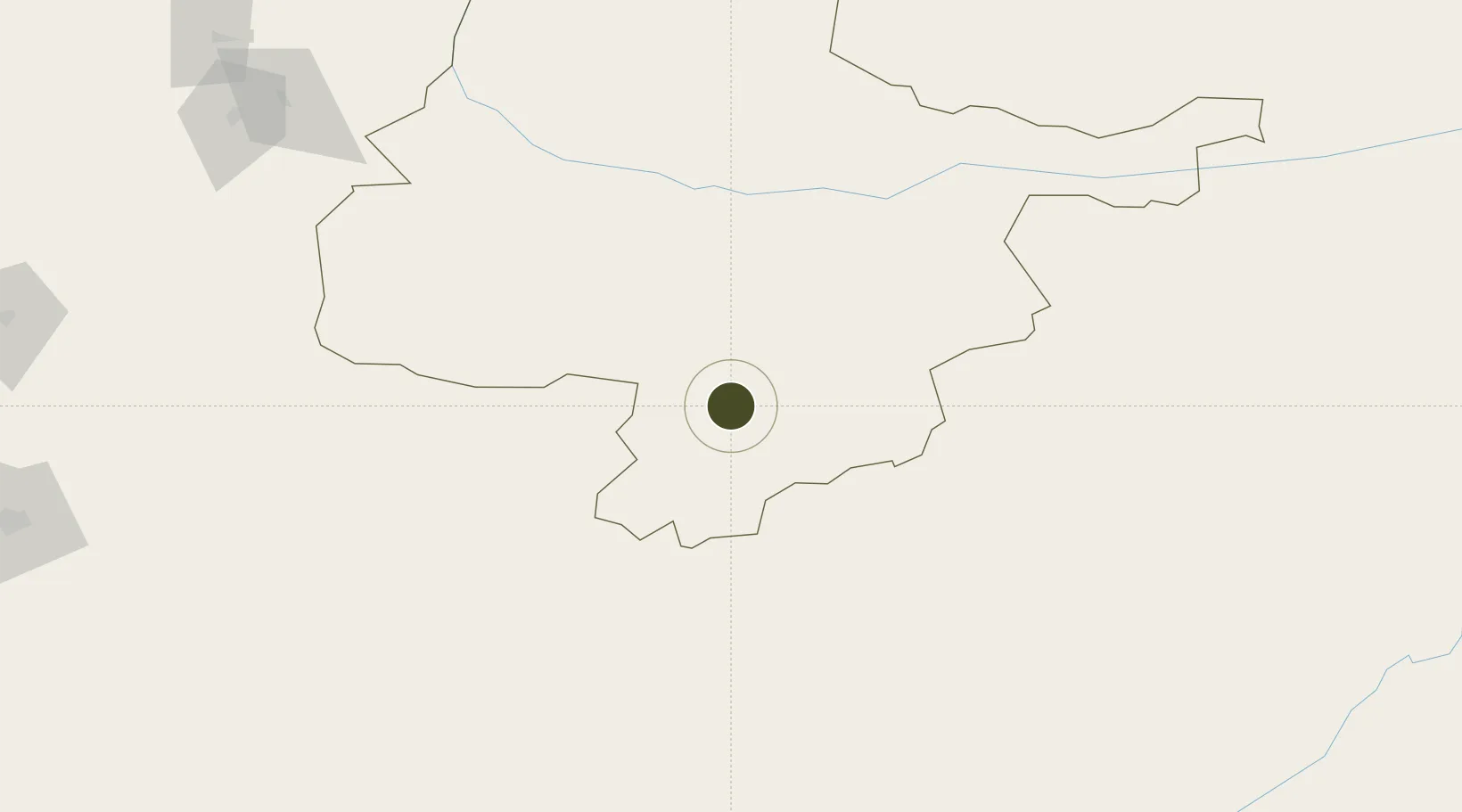
33.3811°, 62.2386°
892.4 km
Nearest port
92.2 km
Nearest airport

Gateway access

Nearest neighbours — logibook spatial index (haversine) over the source coordinates

Zone profile

Zone type
Diversified Zone
Open Zone Map
Region
Hirat
Open Zone Map
Status
Under Development
Open Zone Map
Management
Public
Open Zone Map
Operator
Afghanistan Airfield Economic Development Commission (AAEDC)
Open Zone Map
Legal framework
Presidential Decree # July 2015, Afghanistan Customs Law 2005.
Open Zone Map

Location

Location of ozm-12
Natural Earth 10m (public domain) · Hirat · ozm-12 · 33.38, 62.24GoogleOSMYandex

Nearby Logistics Neighbours

Ports
  1. 1Jazireh-Ye Hormoz892 km
  2. 2Bandar Abbas903 km
  3. 3Bandar-E Shahid Rejaie916 km
  4. 4Chah Bahar916 km
  5. 5Gwadar917 km
Nearest neighbours — logibook spatial index (haversine) over the source coordinates
Airports
  1. 1Herat - Khwaja Abdullah Ansari International Airport92 km
  2. 2Zabol Airport262 km
  3. 3Birjand International Airport281 km
  4. 4Sarakhs Airport363 km
  5. 5Maymana Zahiraddin Faryabi Airport366 km
Nearest neighbours — logibook spatial index (haversine) over the source coordinates
Cities
  1. 1Yolöten436 km
  2. 2Murgap457 km
  3. 3Qalat457 km
  4. 4Tejen471 km
  5. 5Bayramaly471 km
Nearest neighbours — logibook spatial index (haversine) over the source coordinates
Trade Zones
  1. 1Herat Special Economic Zone Special Economic Zone92 km
  2. 2Dogharoon Special Economic Zone187 km
  3. 3Toraghundi Special Economic Zone208 km
  4. 4Birjand Special Economic Zone271 km
  5. 5Zaranj Special Economic Zone272 km
Nearest neighbours — logibook spatial index (haversine) over the source coordinates
DatabookThe Record of Consolidated Knowledge
Afghanistan beyond logistics?
Browse databook

All Sources

Trade ZonesOpen Zone Map
CC BY
Portsthe NGA World Port Index
Public domain (US gov)
AirportsOurAirports
Public domain
LocationsUN/LOCODE
UN/LOCODE — free
← Afghanistan trade zones