Medium airport · Iran
Zabol AirportOIZB
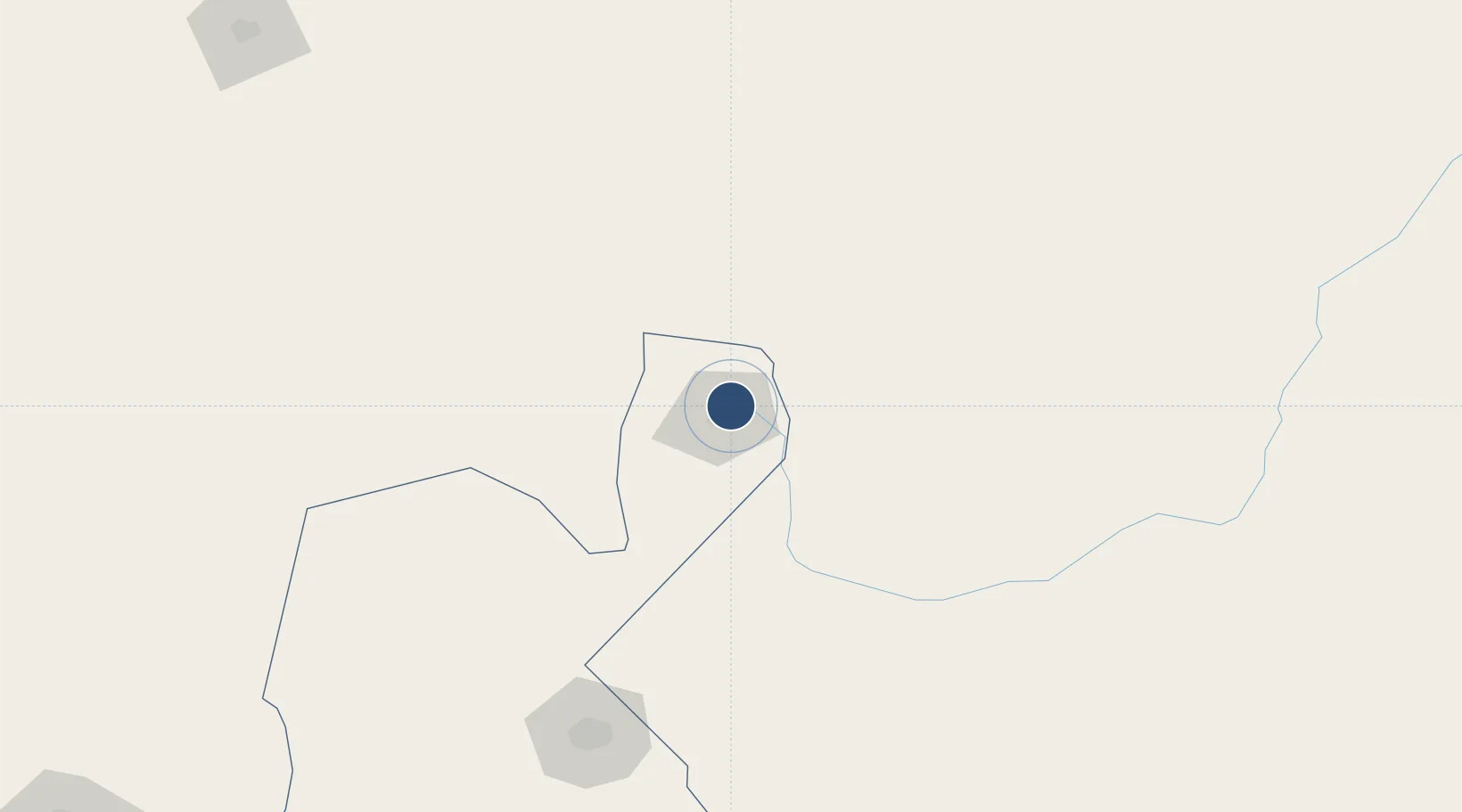
31.0983°, 61.5439°
9,848 ft
Longest runway
1
Runways
1,628 ft
Elevation
Runway & Layout

Radio Frequencies
AFIS
118.35 MHz
INFO
Navaids
ZAL NDB Zabol 295 kHz
Runways · 1
| Runway | Dimensions | Surface | True heading | Lit |
|---|---|---|---|---|
| 16/34 | 9,848 × 148ft | Asphalt | 167° | ✓ |
Airport Specifications
IATA code
ACZ
ICAO code
OIZB
Airport class
Medium airport
Scheduled service
No
Runway surface
Asphalt
Served city
Zabol
Location
Nearby Logistics Neighbours
Airports
- 1Zahedan International Airport191 km
- 2Birjand International Airport292 km
- 3Herat - Khwaja Abdullah Ansari International Airport352 km
- 4Dalbandin Airport370 km
- 5Bam Airport373 km
Cities
- 1Chaman466 km
- 2Qalat518 km
- 3Chah Bahar650 km
- 4Shahid Bahonar681 km
- 5Bandar Abbas685 km
Ports
- 1Chah Bahar655 km
- 2Jazireh-Ye Hormoz665 km
- 3Gwadar667 km
- 4Bandar Abbas680 km
- 5Bandar-E Shahid Rejaie693 km
Trade Zones
DatabookThe Record of Consolidated Knowledge
Iran beyond logistics?