Runway & Layout

Navaids
LK NDB Lakeba 391 kHz
Airport Specifications
IATA code
LKB
ICAO code
NFNK
Airport class
Small airport
Scheduled service
Yes
Served city
Lakeba Island
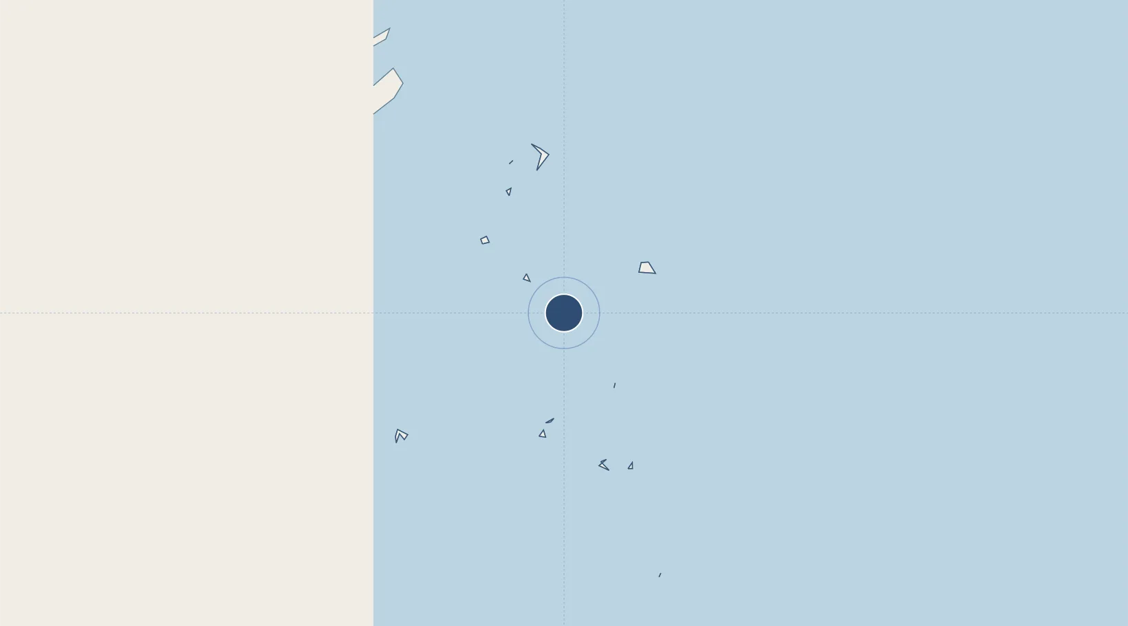
Location
Nearby Logistics Neighbours
Airports
- 1Cicia Airport75 km
- 2Vanua Balavu Airport105 km
- 3Matei Airport202 km
- 4Pointe Vele Airport440 km
- 5Lifuka Island Airport502 km
Cities
- 1Sigavé441 km
- 2Nuku'alofa500 km
- 3Halalo608 km
- 4Matâ'utu615 km
- 5Alofi943 km
Ports
- 1Nuku Alofa500 km
- 2Pangai502 km
- 3Neiafu512 km
- 4Mata-Utu617 km
- 5Apia897 km
Trade Zones
- 1FTZ No. 009 Honolulu4950 km
- 2FTZ No. 003 San Francisco8570 km
- 3FTZ No. 018 San Jose8577 km
- 4FTZ No. 056 Oakland8579 km
- 5FTZ No. 205 Port Hueneme8579 km
DatabookThe Record of Consolidated Knowledge
Fiji beyond logistics?