Seaport · Samoa
ApiaWSAPW
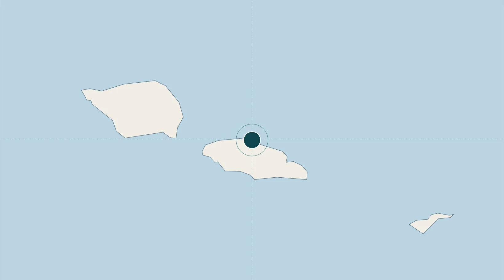
-13.8167°, -171.7667°
11.0 m
Channel depth
1
Container terminals
62.0
Port liner connectivity
Channel & Berth Profile
Pilotage, Tugs & Services
Pilotage compulsoryYES
Pilotage availableYES
Pilotage advisableYES
Tug assistanceYES
Potable waterYES
MedicalYES
Garbage disposalYES
Facilities & Capabilities
Container—
Ro-Ro—
Liquid bulk—
Dry bulk—
Oil terminal—
Break bulk—
Dry dock—
RepairsNO
BunkeringYES
Rail linkNO
Dangerous cargo—
ISPS security—
Harbour Specifications
Harbour size
Very Small
Harbour type
Coastal (Natural)
Shelter
Good
Water body
South Pacific Ocean
Tidal range
1 m
Pilotage
Yes
Liner Connectivity
62
PLSCI
Port Liner Shipping Connectivity Index for Apia, as published by UNCTAD for the latest available quarter. Higher values indicate stronger scheduled liner-shipping integration.
Shown relative to the highest per-port PLSCI in the dataset (1,657.9).
Location
Container Terminals · 1
PORT OF APIA
POA SAMOA PORT AUTHORITY
Nearby Logistics Neighbours
Ports
- 1Pago Pago Harbor130 km
- 2Mata-Utu476 km
- 3Neiafu587 km
- 4Alofi612 km
- 5Pangai720 km
Airports
- 1Faleolo International Airport26 km
- 2Pago Pago International Airport128 km
- 3Ofu Airport230 km
- 4Fitiuta Airport257 km
- 5Kuini Lavenia Airport324 km
Trade Zones
- 1FTZ No. 009 Honolulu4190 km
- 2FTZ No. 205 Port Hueneme7700 km
- 3FTZ No. 003 San Francisco7707 km
- 4FTZ No. 018 San Jose7711 km
- 5FTZ No. 056 Oakland7716 km
DatabookThe Record of Consolidated Knowledge
Samoa beyond logistics?