Seaport · Tonga
Nuku AlofaTOTBU
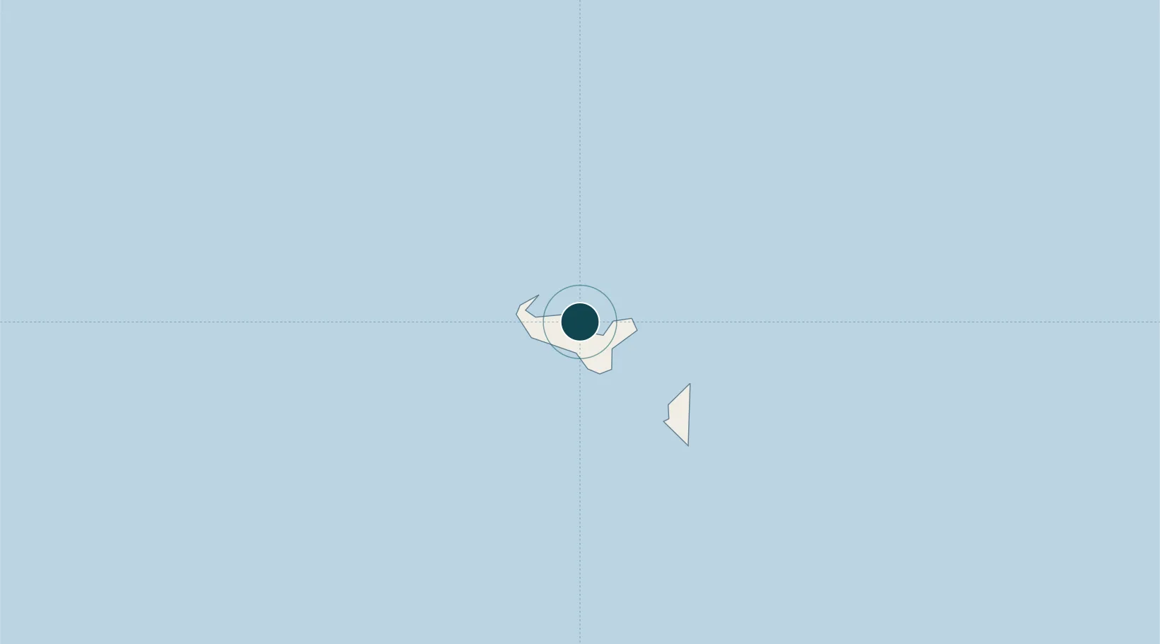
-21.1333°, -175.2000°
11.0 m
Channel depth
1
Container terminals
57.9
Port liner connectivity
Channel & Berth Profile
Pilotage, Tugs & Services
Pilotage compulsoryYES
Pilotage availableYES
Pilotage advisableYES
Tug assistanceNO
Salvage tugsNO
Potable waterYES
Diesel bunkersYES
MedicalYES
Garbage disposalYES
Facilities & Capabilities
Container—
Ro-Ro—
Liquid bulk—
Dry bulk—
Oil terminal—
Break bulk—
Dry dock—
RepairsNO
Bunkering—
Rail link—
Dangerous cargo—
ISPS security—
Harbour Specifications
Harbour size
Very Small
Harbour type
Coastal (Natural)
Shelter
Good
Water body
South Pacific Ocean
Tidal range
1 m
Overhead limit
No
Pilotage
Yes
Liner Connectivity
57.9
PLSCI
Port Liner Shipping Connectivity Index for Nuku Alofa, as published by UNCTAD for the latest available quarter. Higher values indicate stronger scheduled liner-shipping integration.
Shown relative to the highest per-port PLSCI in the dataset (1,657.9).
Location
Container Terminals · 1
NUKUALOFA PORT
NUAP PORTS AUTHORITY TONGA
Nearby Logistics Neighbours
Airports
- 1Fua'amotu International Airport13 km
- 2Kaufana Airport37 km
- 3Lifuka Island Airport175 km
- 4Vava'u International Airport312 km
- 5Lakeba Island Airport500 km
Trade Zones
- 1FTZ No. 009 Honolulu5080 km
- 2FTZ No. 205 Port Hueneme8534 km
- 3FTZ No. 003 San Francisco8564 km
- 4FTZ No. 018 San Jose8566 km
- 5FTZ No. 056 Oakland8573 km
DatabookThe Record of Consolidated Knowledge
Tonga beyond logistics?